North Carolina Weather Alert: Flash Flood Risk and Storms Saturday, More Rain Ahead This Week
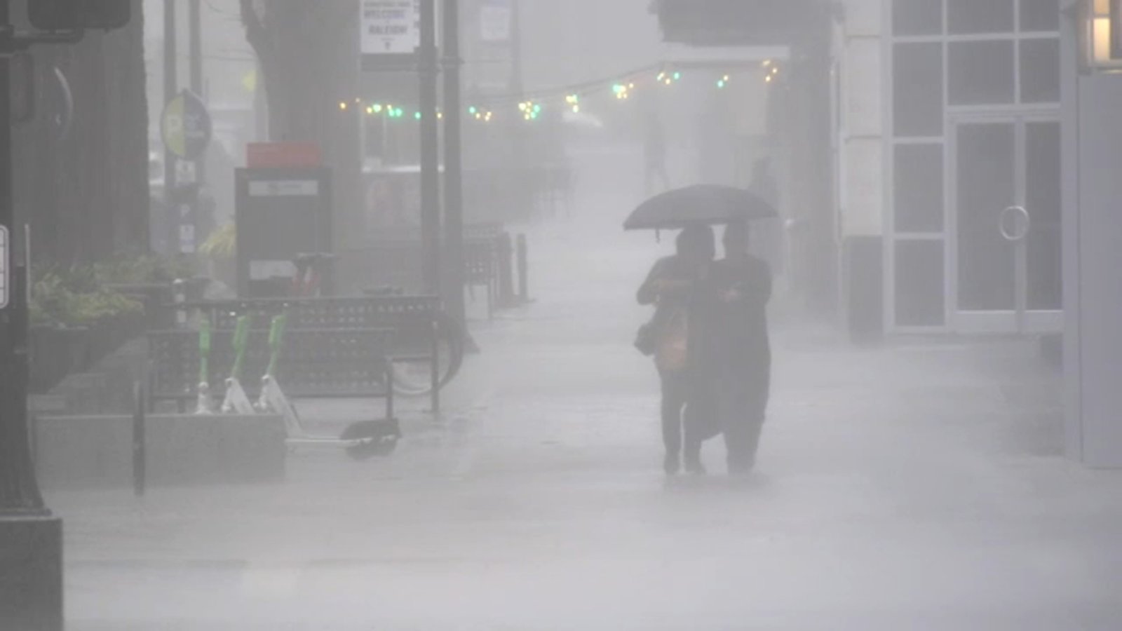
RALEIGH, N.C. — Parts of central North Carolina face a fresh round of severe thunderstorms and flash flood risks through Saturday night, with hazardous travel conditions expected in cities like Raleigh and Durham, according to a new weather alert issued by the National Weather Service (NWS).
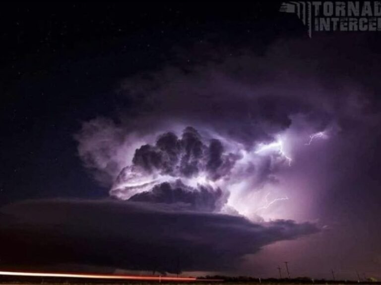
A Marginal to Slight Risk for excessive rainfall and severe storms remains in place across the region, with urban flooding, gusty winds, and frequent lightning identified as the top concerns.
High-Risk Areas Include Urban Centers and Major Highways
The NWS has warned of scattered storms capable of producing torrential downpours along busy corridors such as I-40, U.S. Route 1, and local roads across Wake, Durham, Forsyth, Alamance, Davidson, and Randolph counties.
“The highest concern is flash flooding in low-lying and urban areas,” the NWS alert stated, citing the potential for rapidly developing conditions during Saturday afternoon and evening hours.
Residents are advised to delay outdoor plans, monitor weather alerts, and charge electronic devices in case of power outages. Those in flood-prone neighborhoods should secure outdoor belongings and avoid all water-covered roadways.
Storm Safety Tips for North Carolina Residents
As the severe weather system moves through the region, authorities recommend the following:
- Avoid driving through flooded streets, even if water appears shallow.
- Seek indoor shelter immediately when thunder or lightning is observed.
- Prepare for power disruptions by keeping flashlights and backup chargers nearby.
- Postpone outdoor work, sports, and large gatherings during storm warnings.
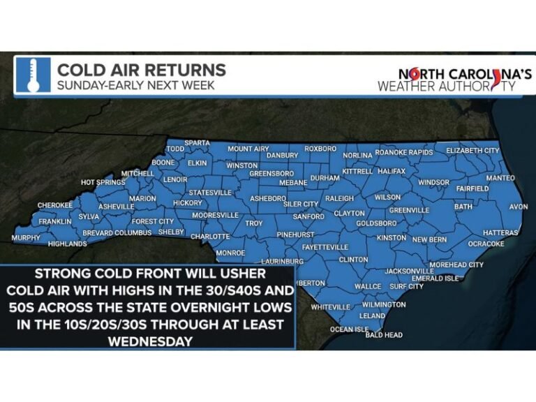
Weekend Outlook: More Rain Expected Through Midweek
While the worst of the severe weather is expected to ease by Sunday morning, forecasters say isolated showers may persist into early Sunday. The next several days remain unsettled:
- Sunday: Mostly sunny, high near 84°F
- Monday: Slight chance of storms after 2 p.m., high 86°F
- Tuesday: Showers possible after 2 p.m., high 86°F
- Wednesday: Partly sunny with chances of storms, high near 87°F
- Thursday: Showers and storms possible, high near 87°F
Officials emphasize that new advisories or warnings may be issued as systems continue to move through the region.
Have you experienced flash flooding or storm damage this weekend? Share photos, updates, and safety tips with the Saluda Standard-Sentinel community at SaludaStandard-Sentinel.com.