Scattered Showers Move Into the Triangle Region of Central North Carolina at 11 PM With Overnight Rain Expected Across Raleigh Durham and Chapel Hill and No Severe Weather Anticipated
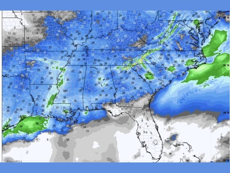
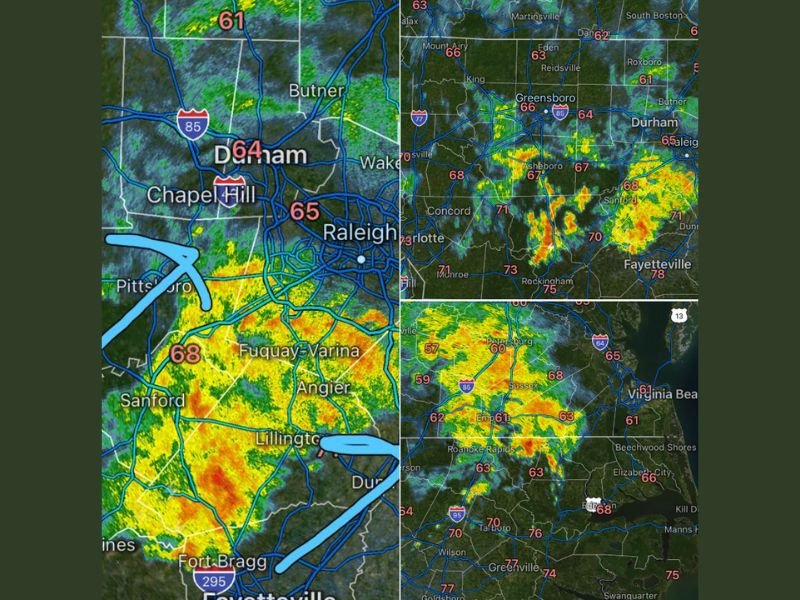
RALEIGH, NC — Scattered showers are continuing across central North Carolina at 11:12 PM as a welcome batch of rain moves into the Triangle region encompassing Raleigh, Durham, and Chapel Hill. Radar imagery shows active green and yellow returns spread across a broad portion of central and piedmont North Carolina, with the shower activity expected to persist through the overnight hours without any associated severe weather threat for communities across the region.
Rain Moves Into the Triangle as Scattered Showers Continue Across Central North Carolina
Radar imagery at 11:12 PM shows scattered shower activity spread across central North Carolina, with the most organized rainfall returns moving into the Durham, Chapel Hill, and Raleigh corridor from the southwest. Temperatures across the Triangle region are sitting in the mid 60s, with readings of 64 degrees in Durham and 65 degrees near Chapel Hill and Raleigh as the cool and moist airmass associated with the shower activity settles across the region overnight.
The shower coverage extends broadly across central North Carolina, with radar returns visible from the Greensboro and Charlotte corridors eastward through Sanford, Fayetteville, and into the eastern piedmont communities during the late evening hours.
Broader Radar Picture Shows Active Shower Coverage Across the Piedmont and Eastern Regions
The broader central North Carolina radar picture shows active shower returns spread across a wide zone encompassing Greensboro, Asheboro, Charlotte, Concord, Sanford, and extending southeast toward Fayetteville and the Fort Bragg corridor. A separate area of active radar returns is also visible across the Virginia border region near Sussex and Emporia, with shower activity extending southward toward Roanoke Rapids and the northeastern North Carolina communities.
Temperatures across the broader region range from the lower 60s in the northern piedmont to the upper 70s across Fayetteville and southeastern North Carolina, reflecting the warm and moisture rich airmass supporting the overnight shower activity statewide.
No Severe Weather Expected as Overnight Showers Provide Beneficial Rainfall
The overnight shower activity moving through the Triangle and broader central North Carolina region carries no severe weather threat, offering residents a straightforward rain event without the lightning, wind, or hail hazards that accompany more organized storm systems. The rainfall is beneficial for the region as scattered showers continue through the overnight hours before the system gradually moves out of the area.
Residents across Raleigh, Durham, Chapel Hill, and all surrounding central North Carolina communities can expect wet conditions through the overnight period with no severe weather concerns anticipated through the remainder of the night.
For continuing coverage of rainfall and weather forecasts across the United States, visit SaludaStandard-Sentinel.com.