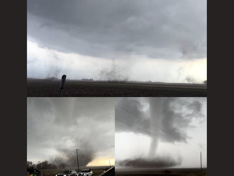
Minnesota Sees 4 Tornadoes Touch Down Between Truman, Amboy and Mapleton Including a Rare Multi-Vortex Triplet Tornado Captured at Close Range
MINNESOTA — Four separate tornadoes have been documented between Truman, Amboy, and Mapleton in southern Minnesota, capping off an extraordinary and violent severe weather day across the state. The tornadoes were captured at extremely close range and included a rare multi-vortex phase east of Truman that produced triplet vortices, a phenomenon even experienced weather observers rarely witness firsthand.
Four Tornadoes Documented Across Southern Minnesota Corridor
The four tornadoes confirmed between Truman, Amboy, and Mapleton represent a significant outbreak for southern Minnesota. The storms fired during the afternoon and evening hours as atmospheric conditions became explosively unstable, producing multiple tornado-warned supercells tracking across this rural Minnesota corridor.
Photographs captured during the event show clearly defined funnels and ground-level debris clouds confirming tornado contact across multiple locations. The visual documentation from extremely close range reveals the violent and organized nature of the storms that struck southern Minnesota on Monday.
Rare Multi-Vortex Triplet Tornado Captured East of Truman
The most extraordinary moment of Monday’s outbreak came east of Truman, where a multi-vortex tornado produced a rare triplet vortex configuration with three separate rotating sub-vortices spinning simultaneously. This type of structure is associated with particularly intense and destructive tornadoes and is rarely documented with such clarity at close range.
The intensity of the winds during the fully condensed phase was so extreme that moisture forced its way into a phone screen protector, temporarily rendering the device non-functional. This detail alone speaks to the raw and violent power on display during Monday’s southern Minnesota tornado outbreak.
More Severe Weather Expected Tuesday Across the Region
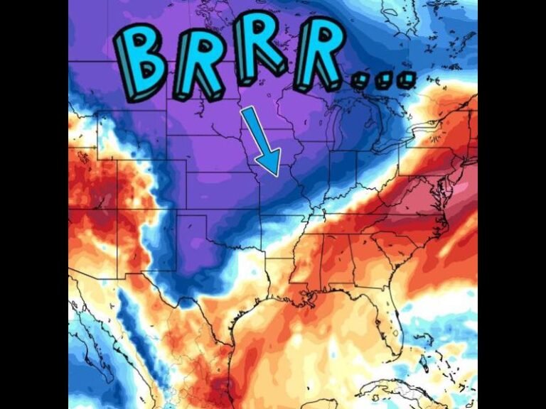
Monday’s four tornado outbreak is not the end of the severe weather story for Minnesota and the broader Upper Midwest. Forecasters are already tracking additional significant severe weather potential for Tuesday, meaning residents must remain in a heightened state of weather awareness through at least mid-week.
The atmospheric pattern that fueled Monday’s tornadoes across Truman, Amboy, and Mapleton remains active and dangerous heading into Tuesday. Residents should keep weather alerts enabled, shelter plans ready, and stay connected to local forecasts as the next threat continues to develop overnight.
Do not let Monday’s storms create complacency heading into Tuesday’s setup. Stay weather aware and informed at SaludaStandard-Sentinel.com.