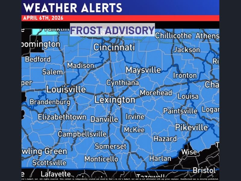
Frost Advisory Issued for April 6 Across Kentucky and Southern Indiana as Morning Temperatures Drop Near Freezing in Louisville, Lexington and Bowling Green
KENTUCKY AND SOUTHERN INDIANA — A Frost Advisory has been issued for the early morning hours of April 6, 2026, as temperatures are expected to drop low enough to create frost across a wide portion of the region.
Cities including Louisville, Lexington, Bowling Green, and surrounding communities are all within the advisory zone, where clear skies and calm winds will allow temperatures to fall near or just below freezing by sunrise.
Widespread Frost Expected Across Central and Eastern Kentucky
The advisory covers a large portion of Kentucky, stretching from western areas near Bowling Green through central cities like Lexington and into eastern communities including Pikeville and Hazard.
Under these conditions, frost is likely to form on exposed surfaces, especially in rural and low-lying areas where temperatures tend to drop more quickly overnight. Even urban locations such as Louisville and Lexington could see patchy frost, particularly in areas away from city centers where heat retention is lower.
Morning Temperatures Could Dip Near Freezing Levels
The key concern with this advisory is how low temperatures are expected to fall during the early morning hours. Forecast conditions suggest readings may approach or briefly dip below the freezing mark in some areas.
This type of cold snap, even if brief, is enough to create frost formation on vehicles, rooftops, and vegetation. The chill will be most noticeable just before and shortly after sunrise. Residents heading out early Monday morning should be prepared for colder-than-usual conditions and reduced visibility in areas where frost develops.
Sensitive Plants and Crops Could Be at Risk
Frost can pose a significant risk to sensitive vegetation, especially during the early spring growing season when plants have already begun to emerge.
Gardeners and farmers across the region are advised to take precautions, such as covering plants or bringing potted vegetation indoors overnight. Even a light frost can cause damage to tender plants, making preparation especially important in areas expected to see the coldest temperatures.
Calm Winds and Clear Skies Creating Ideal Frost Conditions
The weather setup behind this advisory is typical for frost development. Clear skies allow heat to escape quickly from the surface, while light winds prevent warmer air from mixing down.
These conditions create an environment where temperatures can drop rapidly overnight, increasing the likelihood of frost formation across a wide area. The pattern is expected to ease after sunrise, with temperatures gradually warming through the day.
What Residents Should Do Before Monday Morning
Residents across Kentucky and southern Indiana should take simple precautions ahead of the early morning cold. Protecting plants, checking outdoor pets, and preparing for a chilly start to the day can help minimize impacts from the frost.
Drivers should also remain cautious, as frost can create slick spots on elevated surfaces like bridges in some cases. As the cold start approaches, are you preparing for frost in your area? Share your tips and local conditions with us at SaludaStandard-Sentinel.com.