Illinois, Indiana, Missouri, Iowa and Kentucky See Rare 7-Day Weather Break With No Severe Storms as Warm, Dry Pattern Takes Over
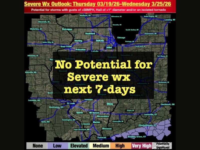
MIDWEST UNITED STATES — A rare stretch of calm weather is expected across the region, with forecasters confirming no potential for severe storms over the next seven days. This includes key states such as Illinois, Indiana, Missouri, Iowa, and Kentucky, where conditions will remain stable and quiet.
The shift comes as a ridge of high pressure builds to the west, promoting warm and dry conditions across much of the Midwest heading into the weekend.
High Pressure Ridge Brings Warm and Dry Conditions Across the Region
Meteorologists say a strong ridge pattern is developing, which will act as a protective barrier against storm systems. This setup typically leads to calmer weather, with fewer clouds, limited moisture, and above-average temperatures.
States including Illinois, Indiana, Missouri, and Iowa will experience this stable pattern, with temperatures gradually warming as the week progresses. Dry air dominating the atmosphere will prevent storm development. This kind of setup is often welcomed by residents after periods of active or severe weather, offering a break from storm threats.
Weak Cold Front Arrives Sunday With Little Impact
A cold front is expected to move through the region on Sunday, but forecasters emphasize it will have very little moisture to work with.
As a result, no storms or severe weather are expected with this system. Instead, it will pass through quietly, bringing only a slight change in temperatures without triggering any significant weather events. This reinforces the overall calm pattern expected across the Midwest during this period.
Cooler and Dry Conditions Continue Into Early Next Week
Following the weak front, temperatures are expected to cool slightly heading into early next week. However, the dry pattern will remain in place.
States such as Kentucky and surrounding areas will continue to see stable conditions, with no indication of severe weather developing during this timeframe.
This prolonged stretch of quiet weather is somewhat unusual, especially during a time of year when transitional patterns can often bring storms.
Signs Point to Possible Active Pattern Returning Later
While the immediate forecast remains calm, meteorologists note that signals are emerging for a more active weather pattern later next week. At this stage, there is no confirmed severe threat, but forecasters are monitoring changes closely and say advance notice will be provided if conditions begin to shift.
For now, the focus remains on the unusually quiet and stable pattern dominating the region.
Residents across Illinois, Indiana, Missouri, Iowa, and Kentucky can take advantage of this calm period, but are encouraged to stay informed as weather patterns evolve. For continued updates and local coverage, visit SaludaStandard-Sentinel.com and share how this quiet stretch of weather is impacting your area.