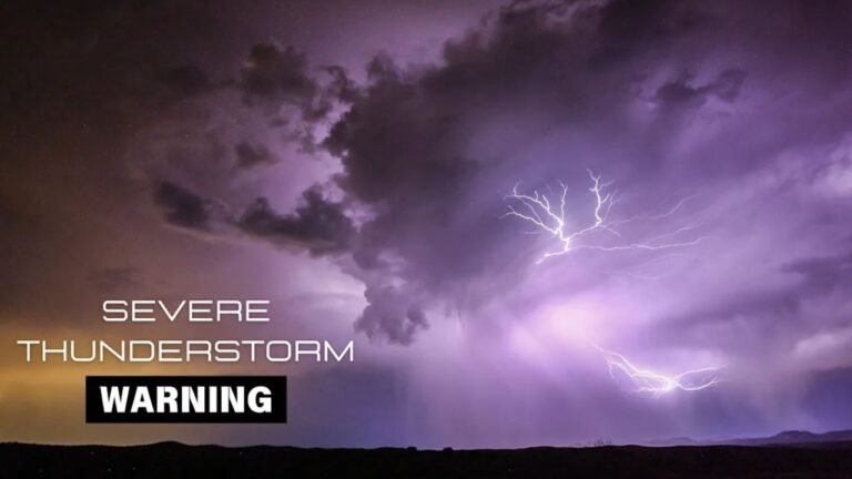
Severe Thunderstorm Watch Issued for South Central Kansas Including Wichita as Large Hail, 70 MPH Winds and Possible Tornadoes Threaten Overnight
KANSAS — A Severe Thunderstorm Watch has been issued for parts of south central Kansas Thursday night as a developing storm system threatens the region with large hail, damaging winds, and the possibility of tornadoes through the overnight hours.
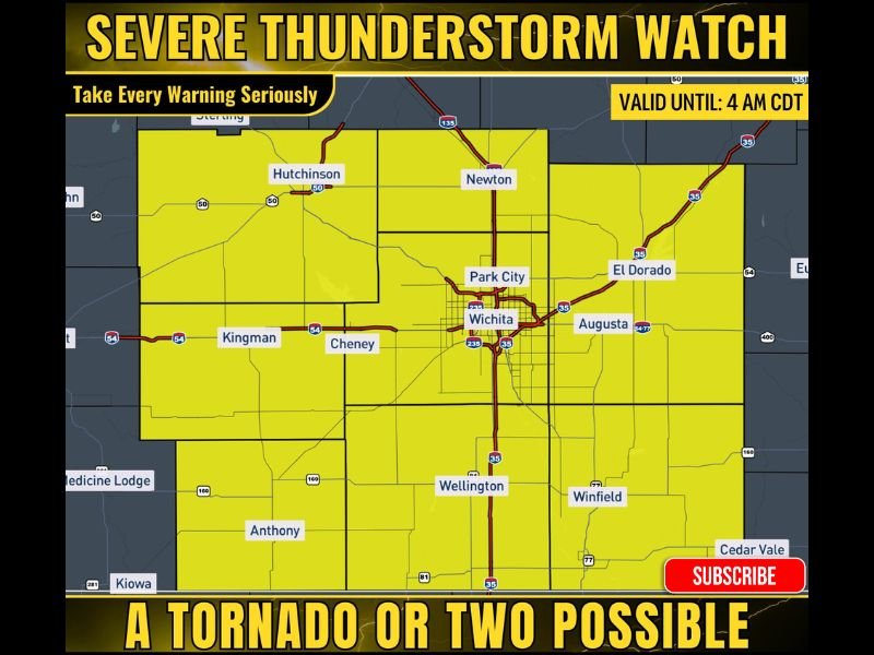
The watch is in effect from 8:35 PM Thursday until 4:00 AM CDT Friday, covering a broad section of south central Kansas including Wichita and surrounding communities. Meteorologists warn that atmospheric conditions are favorable for severe thunderstorms capable of producing significant weather hazards as storms move across the area overnight.
Forecasters say the timing of the storms could make conditions more dangerous because severe weather occurring at night is harder to see and can develop quickly while many residents are asleep.
Wichita and Nearby Cities Within the Watch Area
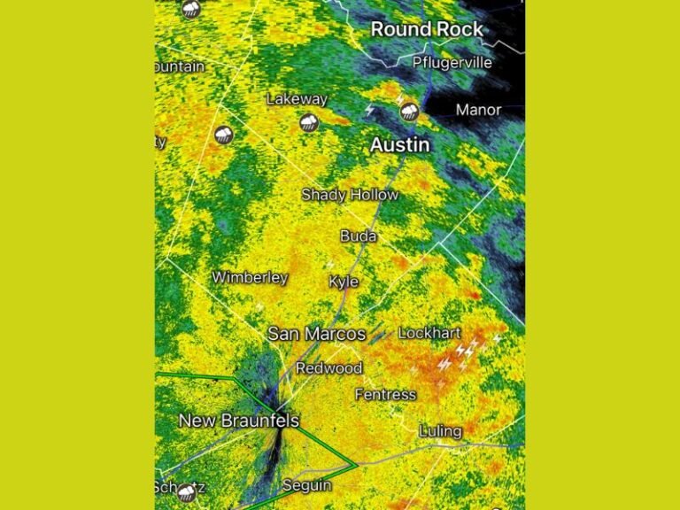
The watch zone includes several major cities and towns across south central Kansas. Communities such as Wichita, Newton, Hutchinson, Park City, El Dorado, and Augusta fall directly inside the highlighted watch region.
Other nearby communities including Cheney, Kingman, Wellington, Winfield, and Anthony are also within the risk area. These locations could experience rapidly developing thunderstorms capable of producing dangerous weather conditions during the late evening and early morning hours.
Meteorologists say storms may develop in clusters and lines as they move across the region, increasing the potential for multiple communities to see severe weather overnight.
Large Hail Up to Two Inches Possible
One of the primary threats from these storms is the potential for large hail. Forecasters say scattered storms may produce hailstones that could reach up to two inches in diameter, which is roughly the size of a golf ball or slightly larger.
Hail of that size can cause significant damage to vehicles, roofs, crops, and outdoor property. Even smaller hail can create dangerous driving conditions and shatter windows if storms intensify quickly. Residents are encouraged to move vehicles indoors if possible and remain indoors when thunderstorms approach.
Damaging Wind Gusts Could Reach 70 MPH
In addition to hail, strong winds are expected to accompany the most intense thunderstorms. Meteorologists warn that wind gusts up to 70 miles per hour could occur in some areas as storms move across the region.
Wind speeds of that magnitude can break tree branches, damage buildings, and cause scattered power outages. Flying debris during severe wind events can also create dangerous conditions for anyone outdoors. Heavy rain and frequent lightning are also expected with the stronger storm cells.
Tornado Risk Cannot Be Ruled Out
While hail and damaging winds are the main threats, forecasters say a tornado or two may also be possible as storms organize across south central Kansas.
Severe thunderstorms sometimes develop rotating updrafts known as supercells, which can produce brief tornadoes under the right atmospheric conditions. Because this severe weather event is occurring overnight, officials stress the importance of having weather alerts enabled on phones or weather radios to ensure warnings are received immediately if storms intensify.
Emergency officials are urging residents across the region to remain alert throughout the night and be ready to move to a safe shelter if warnings are issued. If severe storms develop in your area tonight, share your weather reports or storm photos with our newsroom at SaludaStandard-Sentinel.com as we continue monitoring severe weather threats across the United States.