Northern and Central Indiana Bracing for Extreme Arctic Surge Bringing Dangerous –20°F Wind Chills and Fast-Onset Frostbite
INDIANA — A potentially dangerous blast of arctic air is set to hit Indiana early next week, bringing the coldest wind chills of 2026 and conditions that may plunge into the –10°F to –20°F range across central and northern parts of the state. Forecasters are urging residents to prepare for sub-zero wind chills, quick-onset frostbite and sharply limited time outdoors.
Coldest Airmass of 2026 Arrives Sunday Night
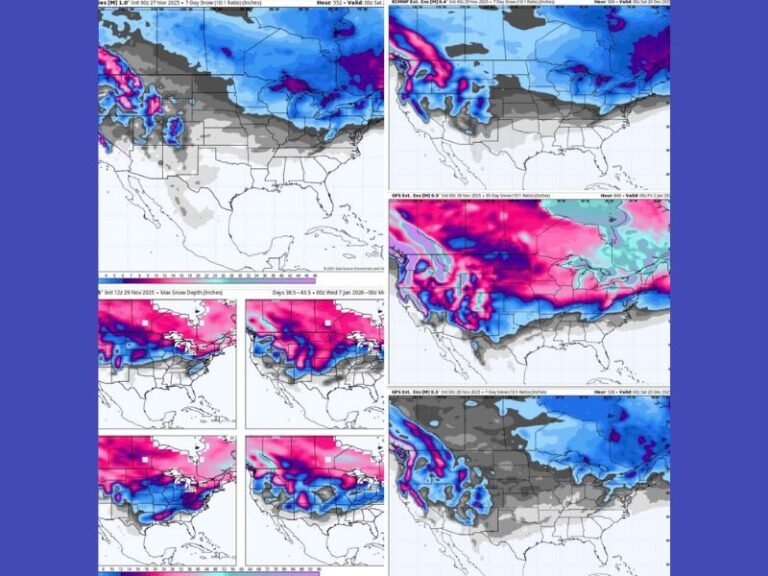
According to the update, the coldest airmass so far this year will move into Indiana beginning Sunday night, setting the stage for widespread dangerous wind chills through January 19–20, 2026.
The graphic highlights northern Indiana — including Gary, South Bend, Fort Wayne and Lafayette — as being at high risk for the coldest values, while central Indiana including Indianapolis, Terre Haute and Muncie is placed in the medium-risk zone. Southern locations such as Evansville and Seymour are labeled low risk, suggesting less severe but still cold conditions.
Wind Chills of –10°F to –20°F Possible Across the Region
Forecast messaging emphasizes that dangerous sub-zero wind chills are expected statewide, with the most extreme cold centered across northern Indiana.
Values could fall to:
- –20°F in northern counties
- –10°F across central Indiana
- Lower but still frigid readings farther south
The update warns that wind chills this cold can shut things down, affecting schools, travel and morning routines across the state.
Frostbite Could Form in 20–30 Minutes
Health risks are a major concern with an air mass this severe.
The Indiana Weather Network warns that frostbite could form on exposed skin in as little as 20 to 30 minutes under these conditions.
The guidance stresses:
- Dress in warm layers
- Cover exposed skin
- Limit outdoor time as much as possible
Residents are urged to prepare now, especially those who must be outside for work or travel.
Northern Indiana Faces Highest Risk
The risk map clearly shows northern Indiana under the highest risk category for dangerous cold, including cities such as Lafayette, Gary, South Bend and Fort Wayne. Central Indiana’s medium risk category still poses significant health and safety challenges, and even the low risk zones further south are expected to see sub-zero wind chills.
Residents Encouraged to Take Early Precautions
With the strongest cold arriving shortly, forecasters recommend taking immediate steps to protect people, livestock and pets. Limiting exposure, dressing in layers and monitoring local alerts will be critical to reducing risk during the coldest period.
More updates will be shared as the arctic air mass moves into the state. Residents can follow additional local reporting and share conditions at SaludaStandard-Sentinel.com.