Florida and the Southeast May See Increased Storm Potential Mid-Next Week as Upper-Level System Dips Into the U.S.
FLORIDA — Meteorologists are closely monitoring a potential weather system that could impact Florida and parts of the Southeast by the middle of next week, as long-range models continue to show a consistent signal for a more active pattern developing over the region.
While confidence remains low this far out, forecasters say the setup is worth watching due to its potential to pull energy north from the Gulf of Mexico and introduce storm chances, particularly across Florida.
Upper-Level Trough Could Dip South Into the U.S.
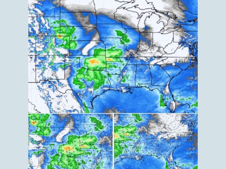
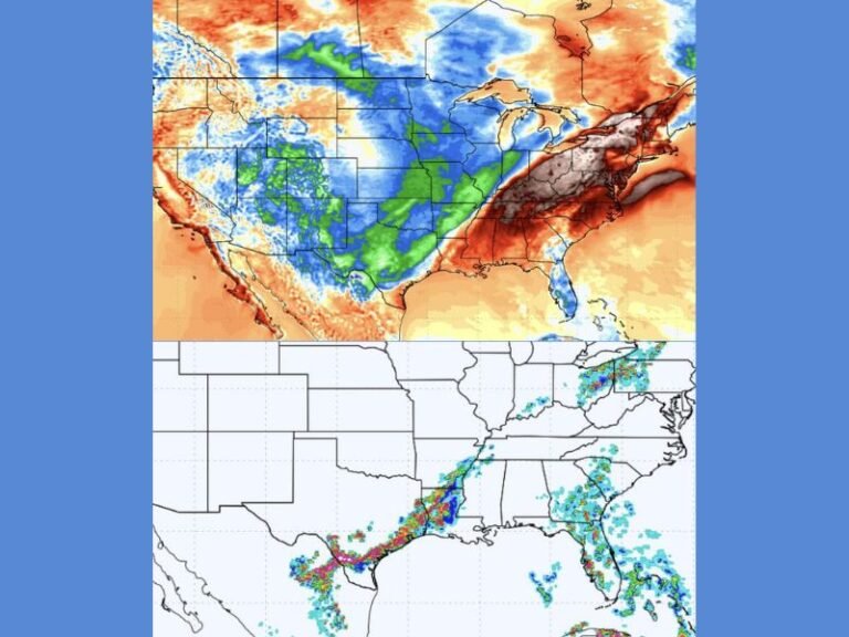
Long-range model guidance indicates an upper-level disturbance may dip farther south into the United States next week, creating a pathway for Gulf moisture to move inland. This type of pattern can increase the likelihood of showers and thunderstorms, especially when combined with favorable wind flow aloft. Meteorologists caution that systems at this range often evolve, but the repeated appearance of this feature across multiple model runs adds credibility to the signal.
Florida and Southeast Highlighted for Potential Impacts
If the system develops as currently indicated, Florida would be among the primary areas to watch, along with portions of the broader Southeast. The interaction between warm Gulf air and incoming energy could lead to periods of unsettled weather, including thunderstorms.
At this stage, there is no indication of widespread severe weather, but forecasters note that stronger storms cannot be ruled out if instability increases.
Storm Prediction Center Mentions Pattern in Long-Range Outlook
The Storm Prediction Center has referenced this emerging pattern in its long-range discussion, noting the possibility of increased storm activity depending on how the system evolves. However, officials stress that it is too early to determine exact timing, location, or intensity of any storms. As the event window approaches, higher-resolution data will provide clearer insight into potential impacts.
Too Early for Specific Forecasts, Monitoring Continues
Meteorologists emphasize that this outlook is focused on pattern recognition, not a specific storm forecast. Details such as rainfall totals, severe weather potential, or exact timing remain uncertain and will be refined over the coming days.
Residents across Florida and the Southeast are encouraged to stay informed but not alarmed, as many long-range signals do not ultimately materialize as initially depicted. Are you already tracking next week’s potential weather changes? Share your thoughts and stay updated with continued coverage from SaludaStandard-Sentinel.com.