Overnight Shower Band Approaches Florida’s Gulf Coast as Forecasters Warn of Higher Rain Chances Late Sunday
FLORIDA — A thin but well-defined line of showers is pushing toward Florida’s Gulf Coast overnight, marking the beginning of a wetter pattern that forecasters expect to intensify later Sunday and into Sunday night. Early radar imagery shows a narrow stretch of rainfall drifting inland from the Gulf of Mexico and reaching communities north of Tampa.
Light Showers Arrive Overnight as Narrow Rain Band Moves Inland
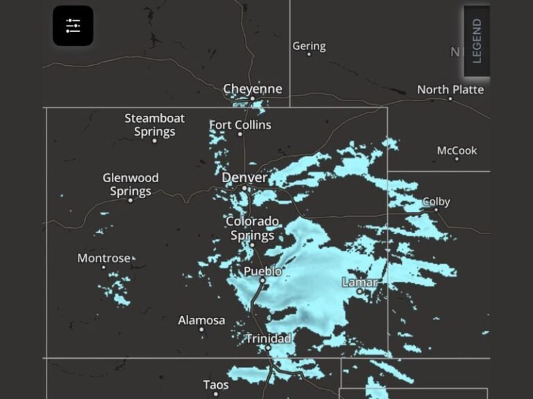
Radar scans late Saturday show a slender strip of showers extending southwest of Spring Hill and slowly advancing eastward toward the coast. The band is producing scattered light rain, with occasional breaks, as it approaches the Tampa Bay region. While this first wave is not expected to produce significant accumulation, it signals the start of a broader transition to unsettled weather heading into the latter half of the weekend.
Forecasters describe the current band as low-impact, bringing brief, spotty rainfall to areas along and west of I-75. Residents in Tampa, Clearwater, and northern Pinellas County may notice passing showers overnight before conditions momentarily stabilize Sunday morning.
Heavier and More Widespread Rain Expected Late Sunday
The most important feature of the weekend forecast comes late Sunday and Sunday night, when a stronger system approaches from the Gulf. Meteorologists say this incoming wave will carry deeper moisture and broader coverage, increasing the likelihood of more persistent rainfall across Central Florida.
The shift becomes more pronounced as upper-level energy moves across the peninsula, allowing showers to expand southward and reach areas including Lakeland, Bradenton, and Sarasota. While rainfall totals are still being refined, the overall trend suggests a noticeably wetter end to the weekend for much of the region.
Unlike the thin overnight band, Sunday night’s system may produce longer-duration showers, occasional moderate pockets of rain, and slick roads for evening travel. Forecasters note that timing may shift slightly depending on how quickly the Gulf disturbance organizes.
Residents Should Plan Around Sunday Evening Weather
Despite Saturday night’s showers being light, the more impactful rainfall window clearly centers on Sunday evening, with increasing moisture and more consistent precipitation coverage expected statewide. Drivers planning late-day travel should be prepared for wet roads and reduced visibility, especially along major corridors between Tampa and Orlando.
Have you already noticed rainfall moving into your area tonight? Share your updates and follow continuing coverage at SaludaStandard-Sentinel.com.