Washington Weather Alert: Rare Wet Snow Could Mix With Rain Around Seattle Friday Morning Commute
WASHINGTON — Forecasters say a brief period of wet snow could mix with rain across the Seattle area early Friday morning, raising the possibility of slushy conditions during the morning commute across parts of western Washington.
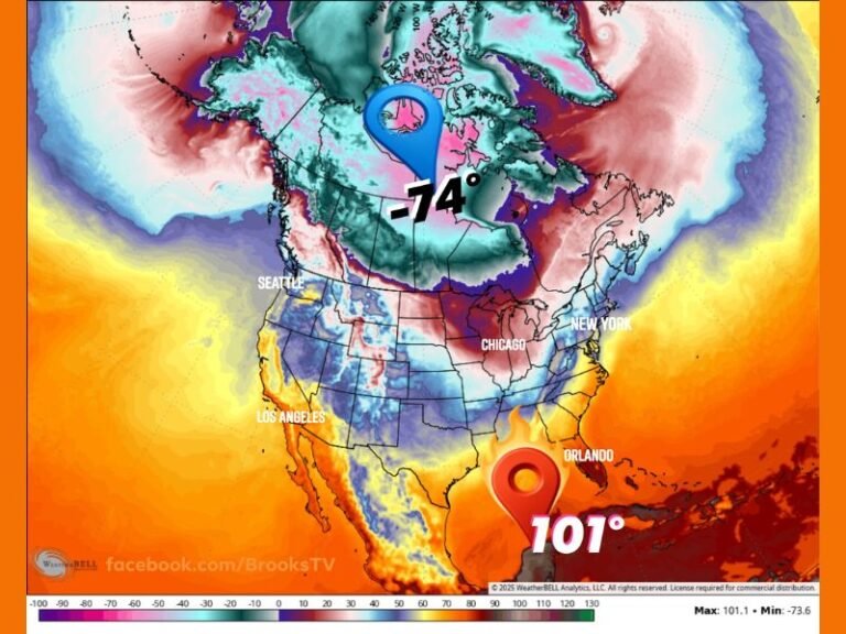
After several days of persistent rain and wind across the Pacific Northwest, meteorologists now say the same storm system may briefly pull a lowland snow scenario into the Seattle metro area, although widespread accumulation is unlikely. While snow fans across the region are watching the forecast closely, forecasters emphasize that any snowfall will likely be light and short-lived, especially in lower elevations.
Rain May Briefly Change to Wet Snow Before Daybreak
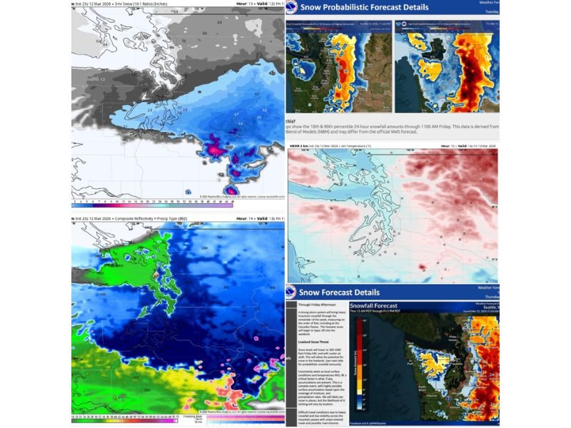
Weather models indicate that precipitation will continue across western Washington overnight, with temperatures gradually cooling into the mid-to-upper 30s early Friday morning. If precipitation intensity increases while temperatures dip, rain could briefly mix with or change to wet snow between the pre-dawn hours and mid-morning Friday.
The most likely timing for this transition would occur during the Friday morning commute, although conditions may vary widely depending on local elevation and precipitation intensity.
Snow Levels Likely to Stay Above Sea Level
Forecasters say snow levels will likely remain between roughly 300 and 500 feet, meaning most of the Seattle metro area could see a mix of rain and snow rather than steady snowfall.
Higher elevations in surrounding areas may see temporary slushy accumulations, particularly on grassy surfaces. However, much of the lowland region is expected to remain too warm for snow to stick easily, especially on roads.
Heavier Precipitation Could Briefly Push Snow Lower
Some high-resolution forecast models suggest a band of heavier precipitation between Seattle and Olympia, which could temporarily lower snow levels.
When precipitation becomes intense enough, the cooling effect can allow wet snow to reach lower elevations, even near sea level for short periods. In those situations, a brief burst of slushy accumulation could occur, particularly in areas with heavier precipitation.
Warm Ground Temperatures Will Limit Accumulation
Despite the possibility of snowflakes mixing with rain, forecasters say ground temperatures remain relatively warm. Road temperatures around Seattle Thursday evening were reported in the mid-40s, meaning most snow that falls will likely melt on contact with roadways.
As a result, major highways such as Interstate 5, Interstate 90, and Interstate 405 are expected to remain mostly wet rather than snow-covered. Still, drivers should remain cautious, as slush and reduced visibility may develop if snowfall rates briefly increase.
Higher Elevations Have Better Chance for Snow
Areas located at higher elevations outside the immediate Seattle lowlands will have a better chance of seeing measurable snowfall. These areas could see a couple inches of wet snow in some spots, especially where elevation and heavier precipitation combine.
Meanwhile, mountain passes across Washington remain under winter weather alerts, where heavier snowfall is expected to continue into the weekend.
Any Snow Likely to Melt Quickly
Even if some snow accumulates briefly Friday morning, meteorologists say it will likely melt quickly. Daytime temperatures are expected to climb into the low 40s Friday afternoon, which would cause any slush or snow accumulation to disappear rapidly.
Because of this warming trend, widespread travel disruptions or school closures across lowland areas appear unlikely. Forecasters say western Washington should return to mostly rain conditions by midday Friday, ending the short-lived snow potential.
Stay with Saluda Standard-Sentinel for continued updates as the evolving Pacific Northwest weather system moves through Washington and the Seattle region.