Updated SPC Outlook Reduces Severe Wind Threat in West Tennessee but 30–40 MPH Gusts and a 20° Temperature Drop Still Expected Sunday Into Monday
WEST TENNESSEE — Meteorologists say the latest SPC Day 2 outlook trims back the threat of severe wind gusts for much of West Tennessee, but forecasters caution that Sunday will still be windy and unsettled, with 30–40 mph gradient winds and a dramatic 20-degree temperature drop expected by Sunday evening.
SPC Lowers Severe Wind Risk Across the Region
Updated guidance shows most of West Tennessee now in a general thunderstorms to marginal-risk zone, reducing the likelihood of widespread damaging winds. Cities including Union City, Martin, Dyersburg, Jackson, and Bolivar fall under the lower-tier risk categories. Forecasters emphasize that although the severe threat is reduced, conditions remain far from calm.
Strong Winds of 30–40 MPH Expected Sunday
Even with the downgraded severe outlook, meteorologists warn that 30–40 mph gradient wind gusts will sweep across the region throughout Sunday. These winds may cause sporadic tree limbs to fall, create difficult driving conditions, and lead to minor power disruptions in exposed areas. The system is part of a larger weather pattern affecting multiple states as colder air advances rapidly into the region.
Temperatures Set to Drop More Than 20 Degrees
A significant temperature crash of more than 20 degrees is expected from late Sunday into Monday as colder air surges in behind the passing front. The sudden shift may create brief travel hazards, especially overnight as moisture and leftover rainfall react to the sharp temperature decline. Residents should prepare for a warm, breezy afternoon turning sharply colder, with much colder wind chills arriving by early Monday.
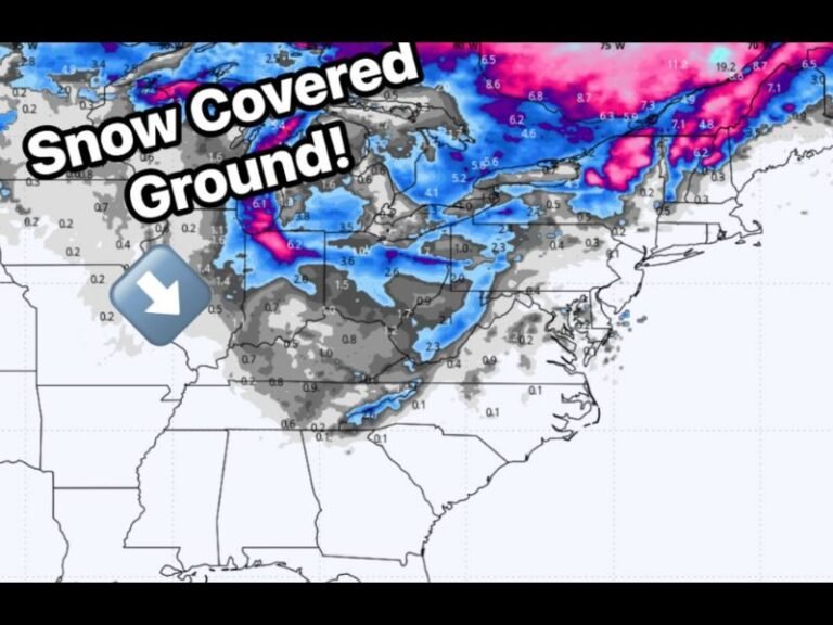
Widespread Clouds, Isolated Storms Possible
Forecasters say West Tennessee will see mostly cloudy skies with patchy showers or a stray thunderstorm, though the risk of severe storms has largely shifted east of the region. Any storms that do develop are expected to be weak and fast-moving.
Meteorologists will continue monitoring wind speeds and temperature trends as the system approaches. Residents in West Tennessee are encouraged to stay updated, plan for strong winds, and share local conditions at SaludaStandard-Sentinel.com.