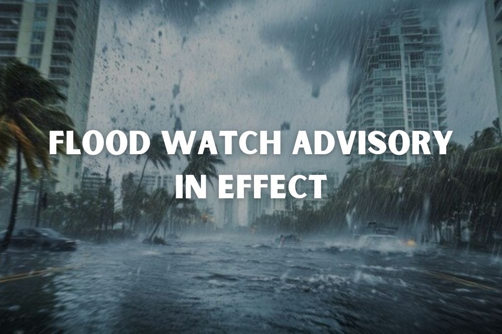
UPDATE: Flood Watch Advisory in Effect for Eastern North Carolina Until Tuesday Evening
EASTERN NORTH CAROLINA — The National Weather Service (NWS) in Newport/Morehead City has issued a flood watch in effect until 5 p.m. Tuesday for several coastal and inland counties across Eastern North Carolina.
The affected areas include Mainland Dare, Mainland Hyde, Northern Outer Banks, Ocracoke Island, Hatteras Island, Martin, Pitt, Washington, Tyrrell, Greene, and Beaufort counties.
Areas at Risk
According to the NWS, flooding caused by excessive rainfall remains possible throughout the day. Excessive runoff could lead to flooding of rivers, creeks, and streams, as well as urban and low-lying areas prone to poor drainage.
Residents are urged to monitor forecasts closely and prepare to take action if conditions worsen or if flood warnings are issued.
Safety Guidance From NWS
Officials advise those living in or camping near flood-prone areas to seek higher ground immediately if flooding develops. Safety measures include:
- Avoiding basements or rooms with submerged outlets or cords.
- Staying out of floodwaters, as six inches of moving water can knock a person off their feet.
- Remembering that 12 inches of rushing water can sweep most cars away.
Drivers are urged not to attempt driving through flooded roads, no matter how shallow the water may seem.
Driving Precautions During Heavy Rain
The NWS also reminded drivers of key safety tips:
- Use headlights during rainfall, even in daylight.
- Stay in middle lanes and on higher ground where possible.
- Avoid puddles that may cause hydroplaning.
- Keep a safe distance from large trucks and buses, which can reduce visibility with spray.
- Turn around, don’t drown—never attempt to cross a flooded roadway.
Understanding Hydroplaning
Hydroplaning occurs when a vehicle loses traction and slides uncontrollably on wet roads. Risk factors include speed, water depth, and tire tread wear.
If hydroplaning occurs, experts advise easing off the accelerator, steering into the skid, and braking gently until tires reconnect with the road.
The flood watch will remain in effect until 5 p.m. Tuesday. Do you live in one of the affected counties? Share how you’re preparing or if flooding has already impacted your area in the comments at SaludaStandard-Sentinel.com.