Tropical Storm Erin Could Form in Atlantic This Week as Forecasters Track Multiple Tropical Waves
CHARLESTON, SOUTH CAROLINA — Forecasters are monitoring two tropical waves in the Atlantic Ocean, one of which has a high likelihood of becoming Tropical Storm Erin within the next day or two, according to WXII 12. While the storm’s projected track currently keeps it east of the U.S., meteorologists stress the importance of watching for potential pattern shifts that could bring it closer to the North Carolina and South Carolina coasts.
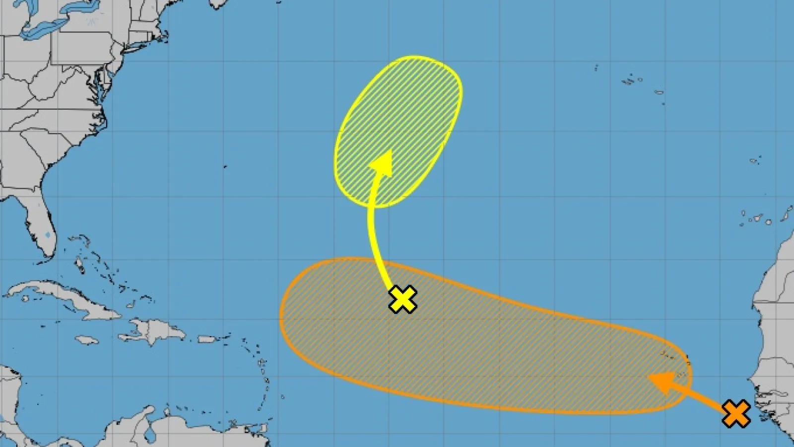
Two Tropical Systems Under Watch
Meteorologists at the National Hurricane Center and the WXII 12 First Warning Weather Team have identified Invest 96-L and Invest 97-L as the primary areas of concern this week.
- Invest 96-L — Currently in the central Atlantic, this system is struggling to organize due to dry air. While some gradual development could occur early next week, the odds of significant strengthening remain low.
- Invest 97-L — Emerging from the West African coast over the weekend, this tropical wave is producing heavy rainfall over the Cape Verde Islands and is showing strong signs of development. Forecasters expect it to organize into a tropical depression or tropical storm — likely named Erin — in the next 24–48 hours.
Potential U.S. Impact
Forecast models suggest that Invest 97-L could intensify and potentially reach hurricane strength later this week. Longer-range predictions indicate a possible turn toward Bermuda, but any shifts in the Atlantic weather pattern could steer the system closer to the Carolinas.
“This is the wave we’re watching most closely right now,” meteorologist Michelle Kennedy said. “It has the structure, moisture, and favorable wind conditions to develop quickly. If you live along the East Coast, now is the time to review your hurricane plans.”
2025 Atlantic Hurricane Season So Far
The 2025 season has already produced four named storms:
- Andrea
- Barry
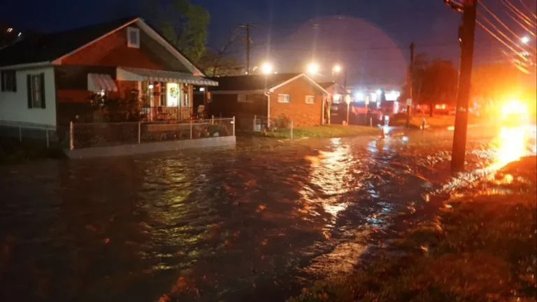
- Chantal — brought deadly flash flooding to parts of central North Carolina, killing five people in early July.
- Dexter — formed in early August without causing major U.S. impacts.
The next two names on the list are Erin and Fernand.
Staying Prepared
Hurricane experts recommend that coastal residents secure emergency supplies, review evacuation routes, and keep close watch on official forecasts over the coming days. The National Hurricane Center will continue issuing regular updates as the systems develop.
With tropical activity expected to ramp up in the second half of the hurricane season, forecasters emphasize the importance of vigilance — even in years that start off relatively quiet.
What are your thoughts on the developing storms? Have past hurricanes changed how you prepare? Share your views in the comments and join the conversation at SaludaStandard-Sentinel.com.