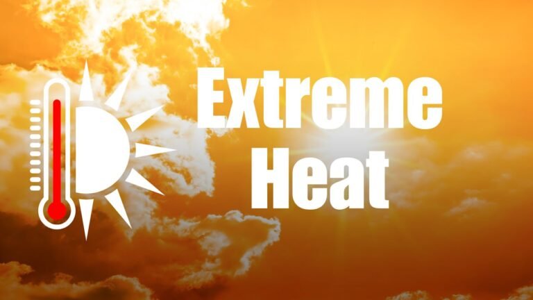
Texas, Oklahoma, Kansas, and Missouri to See Unseasonable Warmth This Christmas as “Torchmas” Forecast Brings 10–20° Above-Normal Temperatures
TEXAS — The Christmas season is shaping up to feel more like spring across much of the central United States. Meteorologists are forecasting a dramatic warm-up for Christmas Day 2025, with parts of Texas, Oklahoma, Kansas, and Missouri expected to see temperatures 10 to 20 degrees above normal.
Weather models, including the GFS temperature anomaly outlook, are signaling what forecasters have dubbed “Torchmas” — a widespread zone of well-above-average warmth dominating the nation’s midsection just as families prepare for the holiday weekend.
Central U.S. Under a Major Warm Pattern
The latest data shows a broad area of warmth expanding from the Southern Plains through the Midwest, affecting millions of residents from New Mexico to Illinois.
The heart of this heat anomaly will center over Texas, Oklahoma, Kansas, Missouri, and Arkansas, where highs could reach the upper 60s to mid-70s, breaking typical December averages by more than a dozen degrees.
“This setup is being driven by a strong ridge of high pressure anchored over the central United States,” explained a meteorologist tracking the model runs. “Cold air remains bottled up in the far north, while the southern jet stream pushes in dry, warm air that keeps temperatures unusually high.”
Holiday Warmth, Not Winter Chill
For residents hoping for a white Christmas, the chances are virtually zero across most of the central and southern states. Instead, the holiday could resemble a mild spring day, with sunshine, breezy conditions, and temperatures that might make Santa trade his coat for sunglasses.
In Dallas and Oklahoma City, afternoon highs on December 25 are expected to climb into the mid-70s, while Kansas City and Springfield, Missouri, could see readings in the upper 60s to near 70°F.
“It’s definitely not your classic Christmas scene,” one forecaster said. “We’re talking about temperatures that could make outdoor gatherings and travel ideal — but it’s another sign of how unusual this December pattern has become.”
Meteorological Factors Behind the “Torchmas” Trend
The warm spell is part of a broader synoptic setup, where a jet stream ridge over the central U.S. diverts colder Arctic air to the north and east.
Meanwhile, a Pacific-influenced flow continues to deliver warm, dry air into the Plains and lower Mississippi Valley.
This pattern, often associated with El Niño conditions, has been linked to suppressed cold outbreaks and enhanced warmth across the southern half of the country.
“The southern tier is torching up while the northern U.S. stays closer to normal — it’s classic El Niño behavior,” meteorologists explained.
Warm Christmas Could Break Local Records
While the forecast remains several days out, if current projections hold, multiple cities across Texas and the lower Midwest could challenge daily high-temperature records for December 25.
For example:
- Dallas, TX: Forecast high near 76°F (record: 78°F set in 2016)
- Oklahoma City, OK: Forecast high near 74°F (record: 75°F set in 2015)
- Kansas City, MO: Forecast high near 68°F (record: 70°F set in 1964)
What’s Next After the Warmth?
Looking ahead, forecasters say this warm pattern could persist briefly into the final week of December before colder air returns to the northern Plains and Midwest. However, no significant Arctic outbreak is expected before New Year’s Day.
Residents across the region can expect clear skies, mild evenings, and above-normal warmth through Christmas weekend — a far cry from the wintry chill many typically associate with the season.
Stay updated with forecast changes and regional weather alerts at SaludaStandard-Sentinel.com.