Southeast Arizona Flood Watch: Heavy Rain to Impact Tucson Through Saturday
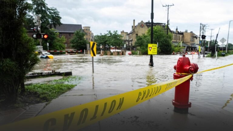
TUCSON, Ariz. — The National Weather Service in Tucson has issued a Flood Watch for much of southeastern Arizona, warning of heavy rainfall and flash flooding risks beginning Thursday, September 25, and lasting through Saturday evening.
Widespread Flood Watch Issued
The watch covers Tucson, Sierra Vista, Nogales, Green Valley, Douglas, Bisbee, Safford, and Clifton.
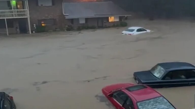
Flooding is most likely in low-lying areas, washes, and poor-drainage neighborhoods, with low-water crossings expected to become dangerous or impassable.
Rural highways, including stretches of I-10 near Willcox and U.S. 89 near Nogales, may also face closures if downpours persist.
Rainfall Totals and High-Risk Zones
Moisture from the Gulf of California, pulled in by a strong low-pressure system, is expected to bring storm totals of 1–2 inches across valleys, with localized mountain regions — including Mount Lemmon, the Rincons, and the Chiricahuas — seeing up to 3 inches of rain.
Timing and Safety Precautions
- Thursday: Rain begins in Cochise, Graham, and Greenlee counties.
- Friday–Saturday: Heaviest impacts expected in the Tucson metro area.
- Saturday evening: Flood Watch remains in effect, with potential extensions into next week.
Officials are urging residents to avoid driving through flooded roadways, stay alert for flash flood warnings, and prepare emergency supplies if travel is unavoidable.
Do you believe flood-prone regions in Arizona are adequately prepared for back-to-back days of heavy rain? Share your thoughts in the comments on SaludaStandard-Sentinel.com.