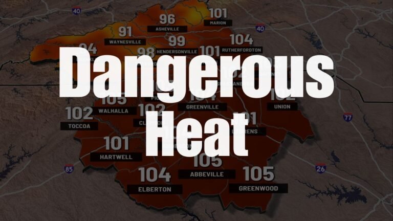
South Florida Weather Alert: Tropical Disturbance Nearing 90% Development
MIAMI, Fla. — Forecasters are closely watching a tropical disturbance north of Hispaniola that now shows a 90% chance of developing into a tropical system within the next week, according to the National Hurricane Center (NHC).
Tropical Wave 94L Under Observation
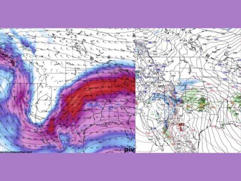
The disturbance, identified as Tropical Wave 94L, has been steadily organizing as it moves west-northwest. While it remains uncertain whether the system will directly affect Florida’s land areas, forecasters say marine conditions could begin deteriorating by Sunday across offshore Atlantic waters.
Impacts Still Unclear
Meteorologists from the National Weather Service in Miami cautioned that it is still too early to determine any direct land impacts. However, they stressed that residents, boaters, and visitors should closely monitor updates as the system evolves.
Officials also urged South Floridians to review hurricane plans and supply kits, noting that late September remains the peak of hurricane season.
Preparedness and Caution
The NHC will continue to issue regular updates on Tropical Wave 94L as it develops. Even if the disturbance does not track directly toward Florida, forecasters warn that rough seas, rip currents, and strong winds may impact coastal and offshore activities.
Authorities recommend staying informed and avoiding unnecessary risks as conditions shift.
Have you started reviewing your hurricane preparedness kit as the season peaks? Share your readiness plans and storm experiences in the comments on SaludaStandard-Sentinel.com.