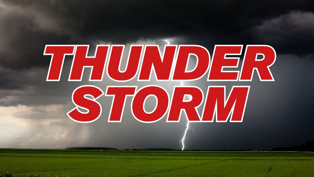
Pueblo, Colorado Faces Severe Thunderstorm With 60 MPH Winds and Quarter-Size Hail
PUEBLO, COLORADO – Residents in southern Colorado are under a Severe Thunderstorm Warning as storms sweep across Conejos and Costilla counties this afternoon, bringing damaging winds up to 60 mph and quarter-size hail.
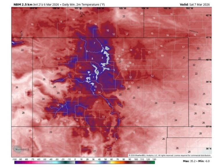
The National Weather Service in Pueblo reported the storm system around 2:42 p.m. MDT, located about nine miles northwest of Mesita and moving northeast at roughly 10 mph.
Hail and Wind Threaten Property
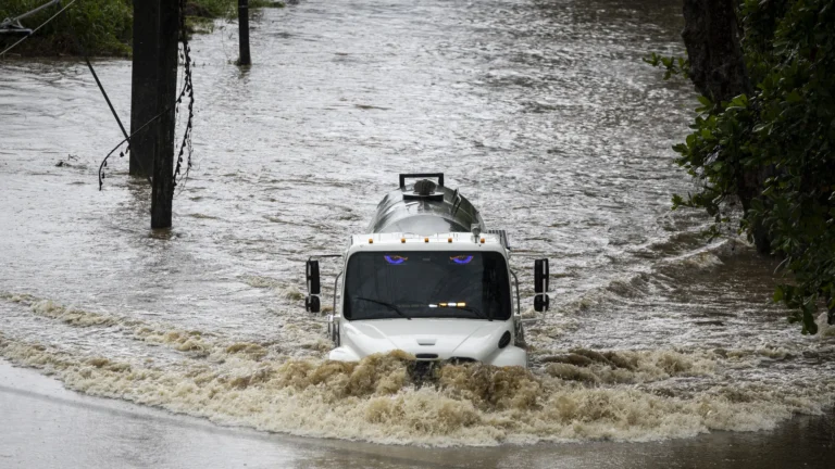
The storm is expected to remain over rural parts of southwestern Costilla and eastern Conejos counties, but forecasters warn of potential damage to vehicles, roofs, trees, and other property. Quarter-size hail could leave dents, break windows, and create dangerous conditions for anyone outdoors.
Airport and Road Safety Concerns
Communities near the San Luis Valley Airport are bracing for reduced visibility as hail and strong winds sweep through. Emergency officials are urging residents to shelter indoors, stay away from windows, and move to the lowest level of their homes until the warning expires.
Travelers across southern Colorado are also advised to use extreme caution. Sudden changes in weather may cause slick roads and limited visibility, raising the risk of accidents. Additional warnings may be issued if the storm strengthens or spawns new cells.
Warning in Effect
The current Severe Thunderstorm Warnings remain in place for parts of southern Colorado through the afternoon. Forecasters say more alerts could follow as conditions develop later this evening.
Have you experienced severe storms like this in your community? Share your updates and safety tips with us at SaludaStandard-Sentinel.com.