Potential Snow and Ice Threat In Texas, Louisiana, Mississippi, Alabama, Georgia, and Tennessee as GFS 18Z Flags January 18 Winter Setup
UNITED STATES — A new long-range GFS 18Z weather model is drawing heightened attention across Texas, Louisiana, Mississippi, Alabama, Georgia, and Tennessee, as guidance suggests a rare winter weather setup around January 18 that could bring snow and ice into parts of the Deep South. While still several days away, the pattern is notable enough to warrant close monitoring.
What the GFS 18Z Model Is Showing for January 18
The latest Global Forecast System (GFS) run depicts a broad swath of wintry precipitation stretching from eastern Texas through Louisiana and Mississippi, extending into Alabama, Georgia, and Tennessee. Model output indicates the potential for snow and mixed winter precipitation in regions that typically experience little to no winter accumulation.
This type of setup often forms when cold Arctic air presses southward while a storm system pulls moist Gulf air over the cold surface layer, creating favorable conditions for snow, sleet, or freezing rain depending on local temperatures.
Why Meteorologists Are Paying Close Attention
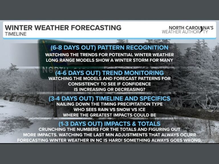
Although this system remains outside the high-confidence forecast window, meteorologists are watching closely because multiple recent model runs have hinted at a similar large-scale pattern. When long-range guidance repeatedly shows the same signal, it becomes something forecasters monitor carefully rather than dismiss.
Even minor shifts in temperature or storm track could dramatically change impacts, determining whether areas see accumulating snow, dangerous ice, or cold rain.
Why Winter Weather Is Especially Disruptive in the South
The southern United States is not built for winter weather, and even light snow or ice can quickly cause hazardous road conditions, school closures, and travel disruptions. Many communities have limited snow removal equipment, and roads are often untreated ahead of freezing events.
Past southern winter storms have shown that small accumulations can lead to widespread impacts, including power outages and water system issues.
What Officials and Forecasters Are Stressing Right Now
Meteorologists emphasize that this is not an official forecast, but rather an early signal worth watching. Residents across the affected states are encouraged to stay informed and monitor updates as higher-resolution models come into range.
Emergency management agencies typically advise reviewing cold-weather preparedness plans early when winter signals begin appearing consistently in model guidance.
Why January 18 Could Become a Key Weather Date
If the current pattern holds, January 18 could shape up to be one of the more significant winter weather threats of the season for the southern United States. While many long-range projections never fully materialize, similar setups in past years have produced memorable and disruptive storms across these states.
Readers are encouraged to share how winter weather has affected their communities in the past and to follow ongoing updates from SaludaStandard-Sentinel.com as this potential system develops.


