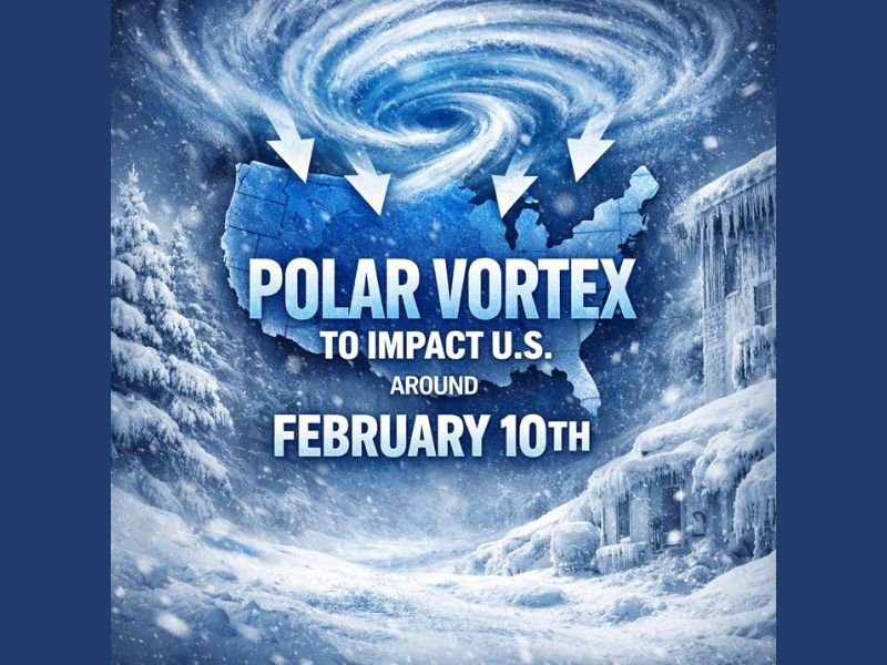
Polar Vortex Disruption Signals Potential Mid-February Arctic Cold Outbreak Across the United States
UNITED STATES — Meteorologists say Americans will likely hear the term “polar vortex” much more frequently heading into mid-February, as new atmospheric signals point toward another significant Arctic cold intrusion potentially impacting large portions of the country.
Recent data shows a stratospheric warming event has weakened and disrupted the polar vortex — a powerful circulation of cold air that typically remains locked over the Arctic. When this system destabilizes, frigid Arctic air can spill southward into the United States, increasing the likelihood of widespread cold outbreaks.
What a Polar Vortex Disruption Really Means
The polar vortex itself is not a storm but a large-scale circulation of extremely cold air in the upper atmosphere. When it is strong, cold air remains confined to the far north. However, sudden stratospheric warming can weaken that circulation, allowing cold air to escape south.
Forecasters say this exact process has already occurred earlier this winter, contributing to multiple Arctic blasts across the central and eastern United States.
Atmospheric Signals Point to Mid-February Reload
In addition to the weakened polar vortex, meteorologists are also tracking signs of a negative North Atlantic Oscillation (NAO) — a pattern often associated with colder air pushing deeper into the eastern half of the country.
When the NAO turns negative, high-latitude blocking near Greenland can force cold air southward while slowing storm systems. Forecast guidance suggests this setup may reload around mid-February, increasing the odds of another notable cold shot.
What Areas Could Be Affected
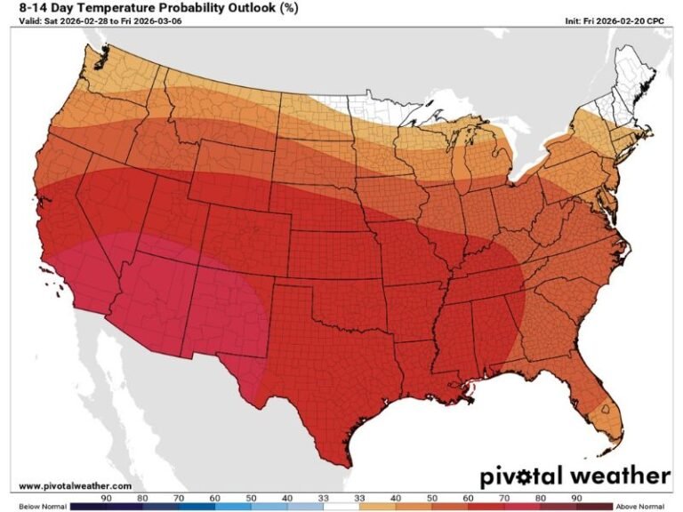
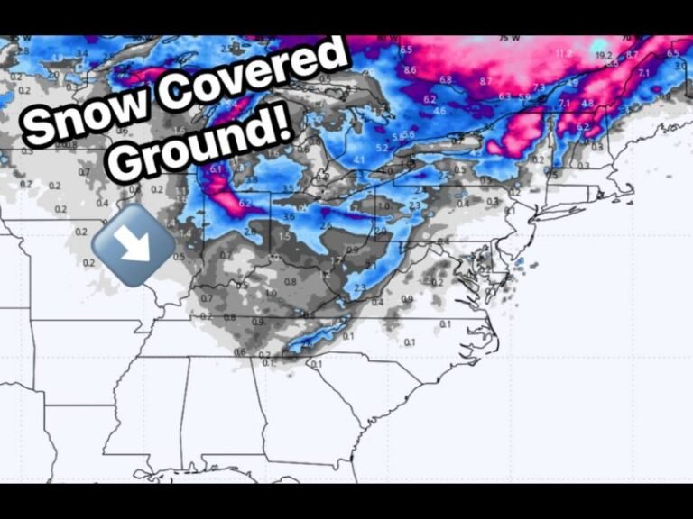
While exact locations cannot yet be pinned down, historical patterns suggest that the Midwest, Great Lakes, Ohio Valley, Southeast, and Northeast would be most vulnerable if the Arctic air spills south again.
Temperatures during these events often fall well below seasonal averages, sometimes by 20 degrees or more, with dangerous wind chills and increased stress on infrastructure.
Why Forecast Confidence Is Still Limited
Meteorologists stress that this is not a locked-in forecast. Atmospheric signals at this range indicate increased potential, not certainty. Small shifts in upper-level patterns can dramatically change where the cold settles and how intense it becomes.
That said, the combination of polar vortex disruption and negative NAO signals is a classic setup for impactful winter cold, making this period one to watch closely.
What Residents Should Do Now
Officials advise residents to stay informed as February approaches, especially those in regions prone to extreme cold. Reviewing winter safety plans, checking heating systems, and preparing for possible energy strain can help reduce risk if another Arctic outbreak materializes.
Forecasters emphasize that awareness now can prevent dangerous surprises later. What do you think — are we headed for another major cold wave, or will winter finally loosen its grip? Share your thoughts and stay updated with ongoing coverage at SaludaStandard-Sentinel.com.