Polar Vortex Disruption Could Bring Freezing Temperatures and Heavy Snow to the U.S. in December
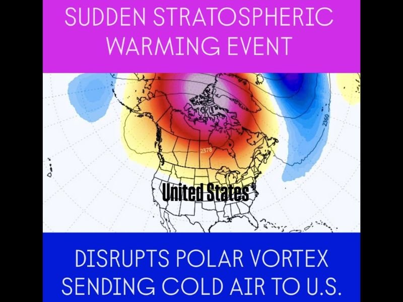
UNITED STATES — Meteorologists are warning that the U.S. could be heading into one of the coldest and snowiest Decembers in recent years, driven by a rare Sudden Stratospheric Warming (SSW) event expected to peak around Thanksgiving week.
This atmospheric event — which takes place high above the Arctic — can dramatically disrupt the Polar Vortex, a circulation of frigid air that normally stays confined near the North Pole. When disturbed, that cold air can spill southward into North America, setting the stage for a major temperature drop and increased snowfall potential across the United States.
What is a Sudden Stratospheric Warming Event?
A Sudden Stratospheric Warming occurs when temperatures in the stratosphere above the Arctic rapidly increase, sometimes by more than 50 degrees in just a few days.
This sudden warming pushes the polar vortex out of its stable position, allowing cold, dense air to escape into lower latitudes — often reaching the central and eastern United States.
“Think of it like a lid being lifted off the Arctic freezer,” meteorologists explained. “Once that cold air escapes, it rushes southward, colliding with warmer air and producing outbreaks of freezing weather, snow, and ice.”
When Will the Effects Be Felt?
The latest forecasts show that the SSW event could peak between November 20 and 25, around Thanksgiving week. However, it typically takes one to two weeks for the surface-level impacts to be felt, meaning the first half of December could feature widespread cold across much of the country.
Regions most likely to experience the biggest impacts include:
- The Midwest (Illinois, Indiana, Ohio, Michigan)
- The Great Plains (Kansas, Nebraska, Oklahoma)
- The Northeast (New York, Pennsylvania, New England)
- The South (Tennessee, Arkansas, and northern parts of Texas)
What This Means for December Weather
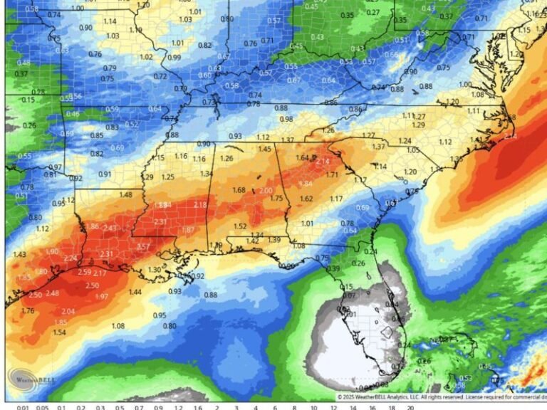
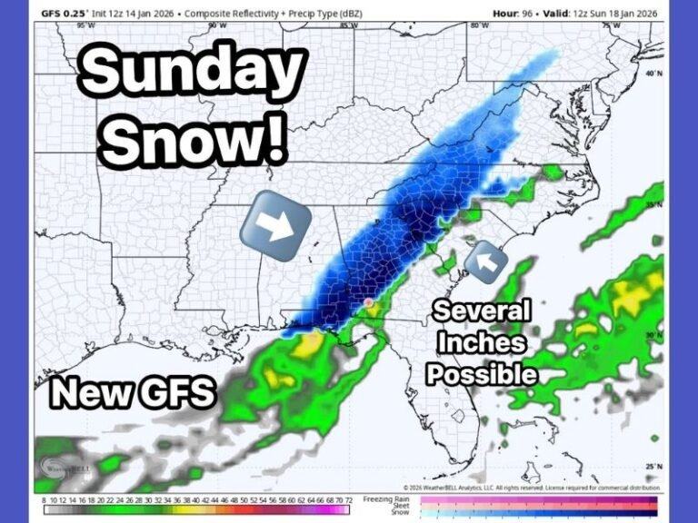
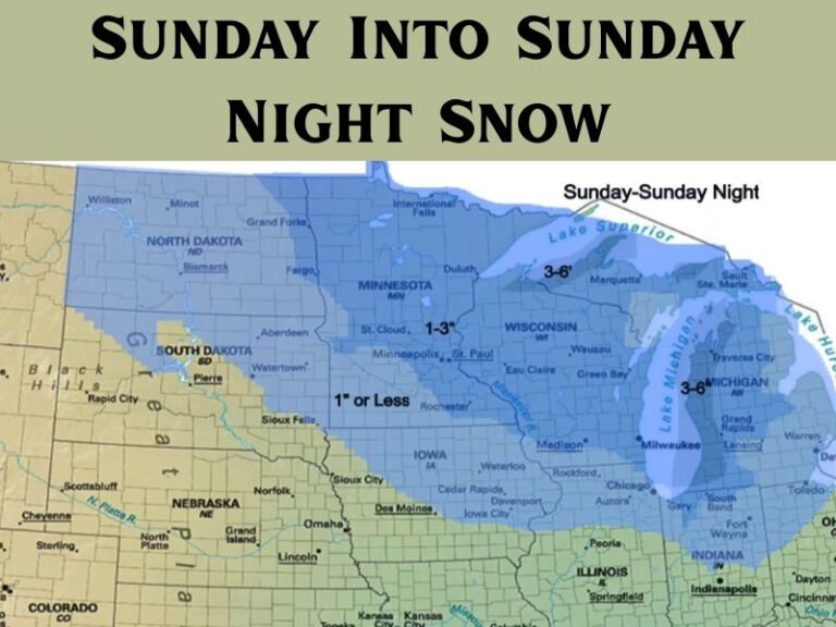
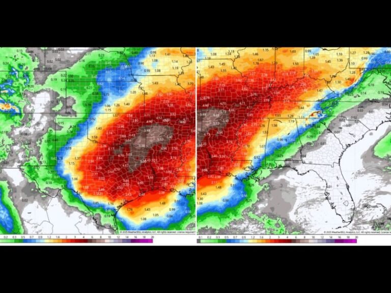
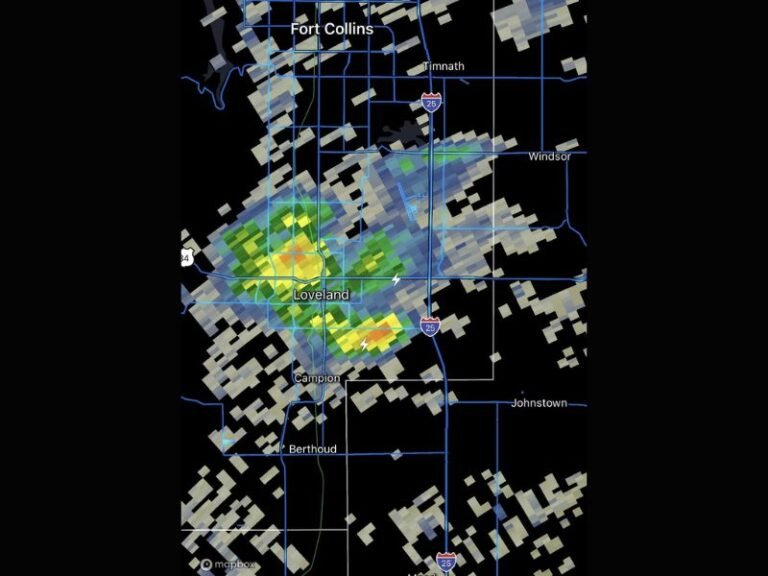
Once the polar vortex becomes disrupted, the cold air can linger — sometimes for weeks. Meteorologists say this pattern could result in frequent snow chances, particularly in the Midwest and Great Lakes, while the South and Southeast may see dramatic cold snaps and freezing rain events.
If this scenario develops as predicted, Americans could be looking at a classic winter setup for the holidays, featuring:
- Below-normal temperatures across most of the U.S.
- Increased snow potential for the Midwest and interior Northeast
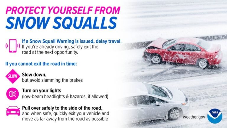
- Icy conditions and travel delays in early to mid-December
What to Watch
Weather experts emphasize that while the timing and severity can vary, confidence remains high that this late-November SSW will influence December’s winter weather pattern across the nation.
“This setup has the potential to flip our mild fall pattern into a cold, active start to winter,” forecasters said. “The effects may not hit right away — but by early December, the shift will be felt across much of the United States.”
Stay tuned for continued weather updates and forecasts at SaludaStandard-Sentinel.com — your trusted source for regional and national weather insights.