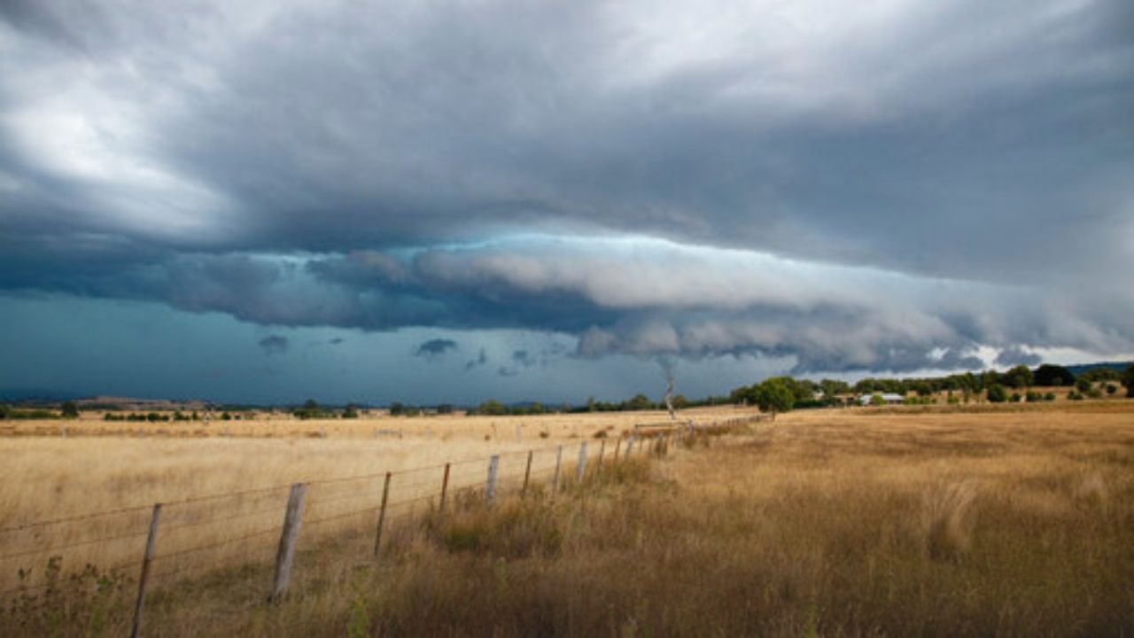
Omaha Weather Alert: Severe Storms With 70 MPH Winds, Hail Risk Friday Evening Across Eastern Nebraska
OMAHA, NE — Residents across eastern Nebraska are being urged to prepare for potentially strong to severe thunderstorms Friday evening, as a cold front sweeps across the state. Forecasters warn that the system could bring damaging wind gusts up to 70 mph, hail near one inch in diameter, and heavy rainfall capable of triggering localized flooding.
What to Expect Friday Evening
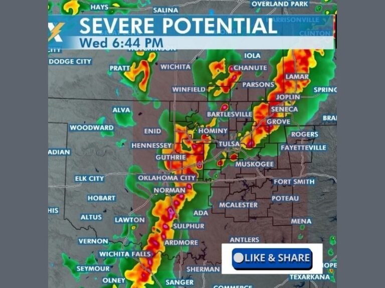
The National Weather Service Omaha/Valley office says storms are most likely to develop late Friday afternoon and continue into the night. While the overall tornado risk is low, the combination of high winds, hail, and pockets of intense rain poses a significant threat to both property and public safety.
“Some of these storms will be capable of producing widespread 60–70 mph wind gusts, which can easily bring down trees and power lines,” meteorologists said, adding that drivers should prepare for low visibility and ponding on roads in the hardest-hit areas.
Areas Most at Risk
Communities stretching from Norfolk to Lincoln and into Omaha are in the zone for the strongest impacts. Outdoor events Friday evening — including high school football games, community festivals, and concerts — could be interrupted or canceled as lightning, gusty winds, and hail approach.
Emergency managers are reminding residents to keep mobile devices charged and to have multiple ways to receive severe weather alerts, particularly after dark when warnings may be harder to notice.
Flooding Concerns and Safety Steps
In addition to wind and hail, localized flooding is possible where storms repeatedly track over the same areas. City crews and rural counties are on alert for reports of blocked storm drains or rising water on low-lying roads.
Safety officials recommend:
- Avoiding flooded roadways, even shallow water.
- Moving outdoor furniture, grills, and other unsecured items indoors.
- Preparing a backup light source in case of power outages.
Cold Front Brings Weekend Relief
The silver lining for Nebraska residents is that this severe weather will be short-lived. The cold front responsible for Friday’s storms will bring noticeably cooler air into the state by Saturday morning. Highs for the weekend are expected to settle into the low to mid-70s, with mostly sunny skies and drier conditions — offering a welcome break after a volatile end to the workweek.
However, forecasters caution that additional advisories may be posted if Friday’s storms grow stronger than currently projected.
Friday evening’s storms represent the most significant severe weather risk for eastern Nebraska in weeks, with the potential for damaging winds, large hail, and flash flooding. The Omaha metro and surrounding communities are advised to remain weather-aware, adjust outdoor plans, and take immediate action if warnings are issued.
Will you be adjusting your Friday night plans due to the storm threat? Share how you’re preparing in the comments below.