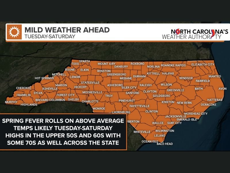
North Carolina to See Above-Average Temperatures Tuesday Through Saturday as High Pressure Brings Widespread 60s and 70s
NORTH CAROLINA — A stretch of above-average temperatures is expected to return across the state next week, with highs climbing into the 60s and even 70s from Tuesday through at least Saturday as high pressure builds over the region. After recent swings between cooler and milder days, forecasters say North Carolina is entering what many residents will feel as an early taste of spring.
High Pressure Brings a Mild Midweek Warmup
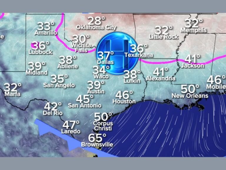
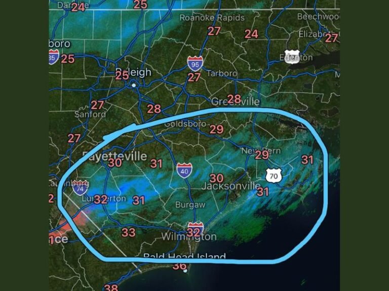
Meteorologists indicate that a strong area of high pressure will settle in over the Southeast, allowing temperatures to rise steadily beginning Tuesday. Most areas across central and eastern North Carolina, including Raleigh, Greensboro, Charlotte, Fayetteville, Wilmington, and Greenville, are forecast to see highs in the 60s, with some communities reaching the low 70s.
The warmest stretch is expected Wednesday through Friday, when widespread 60s and 70s are likely across much of the state. Mountain regions such as Boone and Asheville may remain slightly cooler, generally in the 50s to low 60s, while parts of the immediate coastline could also trend slightly cooler compared to inland areas.
Statewide Warmth From Mountains to Coast
Forecast maps show the milder air covering nearly the entire state, from Murphy and Highlands in the west to Elizabeth City and the Outer Banks in the east.
While some localized differences will occur due to elevation and proximity to the coast, the overall trend points toward consistent, pleasant conditions statewide through Saturday. Officials note that this pattern reflects a temporary “spring fever” setup rather than a permanent seasonal shift. North Carolina’s famously changeable weather means cooler air could return later, as often happens during late winter.
A Break From Winter Chill — For Now
The upcoming warm stretch may provide a welcome break for residents tired of colder mornings and fluctuating conditions. Afternoon highs in the 60s and 70s should create comfortable outdoor conditions across much of the state.
However, forecasters caution that this is considered a short-term thaw rather than a definitive end to winter. As many longtime residents know, weather patterns can shift quickly during this time of year.
For now, North Carolinians can expect several days of milder-than-average temperatures before any potential pattern changes later in the month. Are you looking forward to the warmer temperatures next week? Share how the changing weather is impacting your plans at SaludaStandard-Sentinel.com.