North Carolina Faces Sweltering Heat as Hurricane Erin Threatens Coastal Beaches
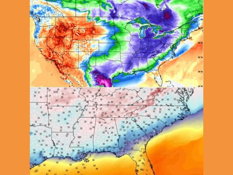
WINSTON-SALEM, NORTH CAROLINA – Residents endured another hot and humid weekend with temperatures in the 90s and heat index values topping 100, while attention is now shifting to Hurricane Erin, which is tracking north in the Atlantic and expected to impact the state’s beaches.
Heat Wave Continues Across the State
Meteorologists reported “feels-like” temperatures in the triple digits Sunday, with only isolated storms offering relief. The hot pattern is expected to linger into early next week as frontal systems approach from the west.
Health officials are reminding residents to limit outdoor activity, stay hydrated, and take precautions for heat-related illness as conditions remain oppressive.
Hurricane Erin Expands in Size
Forecasters say Hurricane Erin is growing rapidly, with its size expected to double or even triple as it shifts northward along the East Coast. The storm’s track is projected to parallel the North Carolina shoreline, threatening to push hazardous conditions into the region.
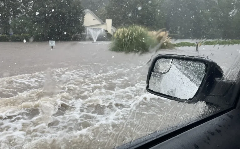
Even without a direct landfall, Erin’s broad circulation could send strong waves and rain bands onto coastal areas, stretching impacts from Florida up through the Carolinas and into the Northeast.
Impacts Expected for Carolina Beaches
Beginning Monday, beaches in North Carolina may experience:
- Dangerous rip currents
- Rough surf and high waves
- Minor coastal flooding in low-lying areas
Communities along the Outer Banks, Carolina Beach, and Wrightsville Beach are being urged to prepare. Visitors are advised to avoid swimming once rip current warnings are in place.
Officials Monitoring Storm Closely
Local emergency managers stress that residents and beachgoers should take this system seriously. While Erin is not expected to come ashore, its expanding size makes it capable of creating widespread hazards.
Forecast details and the latest storm advisories are available through WXII 12 News.
Stay prepared as conditions change quickly along the coast. For continuing updates on heat advisories and tropical developments affecting the Carolinas, follow SaludaStandard-Sentinel.com.