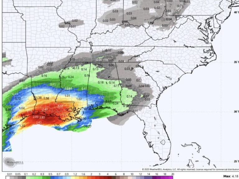
North Carolina and South Carolina Snow Chances Hinge on Upper-Level Pattern Changes Ahead of Sunday System
SOUTH CAROLINA — Forecasters say snow potential across North Carolina and South Carolina ahead of Sunday’s weather system remains limited for now, but key changes in the upper-level atmospheric pattern over the next few days could still influence whether colder air and snow chances increase or fade entirely.
Meteorologists emphasize that the outcome depends less on surface temperatures and more on how the upper-air flow evolves as the system approaches the Southeast.
Why Upper-Level Timing Matters for Snow
For snow to materialize in the Carolinas, the primary upper-level disturbance — known as a shortwave — needs sufficient time to deepen and tilt negatively before being pushed east by a faster, trailing system often referred to as the “kicker.”
If the shortwave strengthens and slows slightly, it can improve lift and allow colder air to better align with incoming moisture. If it moves too quickly or remains shallow, precipitation tends to fall as rain with little or no winter impact.
Key Atmospheric Trends Forecasters Are Watching
Meteorologists outlined several specific signals that would support a colder, more snow-friendly outcome:
- A more delayed kicker system, which allows the main shortwave to strengthen
- A stronger ridge between weather waves, encouraging amplification rather than flattening
- Deeper digging of the primary shortwave, increasing lift and forcing
- Less suppression of atmospheric heights, which supports colder air holding longer
If these factors fail to materialize, the system is likely to remain progressive, limiting snowfall potential across the region.
Why Confidence Remains Low for Now
Current model blends still favor a scenario where the leading shortwave moves too quickly, preventing meaningful cold air from fully locking in across the Carolinas. This would result in precipitation arriving before temperatures are cold enough for snow, especially east of Interstate 95.
Forecasters caution that while small adjustments in the upper-air pattern can have outsized effects, the present signal does not yet support a high-confidence snow event.
What This Means for the Carolinas
At this stage, snow remains a low-probability outcome, particularly for central and eastern North Carolina and South Carolina. Any increase in snow chances would require noticeable shifts in upper-level timing and amplification over the next 48 to 72 hours.
Meteorologists will continue monitoring model trends closely as the Sunday system approaches, noting that small changes aloft can still influence final outcomes.
Snow is not off the table for North Carolina and South Carolina, but it remains conditional on upper-level pattern changes that have yet to fully materialize.
Do you think this system will trend colder, or fade into another cold rain? Share your thoughts and follow ongoing weather coverage at SaludaStandard-Sentinel.com.


