New England Weather System Brings Heavy Rain and Hidden 50+ MPH Winds Aloft as Forecasters Warn Conditions May Intensify Through the Day
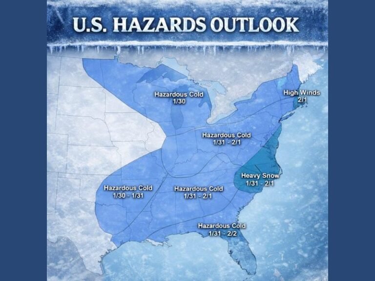
NEW HAMPSHIRE — A developing weather system continues to push across New England, bringing steady rainfall and potentially strong winds that have not yet mixed down to the surface. Despite calm conditions in many communities early Friday, meteorologists warn that 50 mph or stronger gusts are currently positioned just above ground level and may reach the surface once heavier precipitation arrives.
Key Weather Details for New England Today
To make the main information clear, here are the most important points from the latest analysis:
- Rainfall is spreading across New England, though early bands appeared weaker than earlier model projections
- 50–55 mph wind gusts are present aloft, not yet mixing to the surface
- Heavier precipitation is needed to drag those stronger winds downward
- Calm surface conditions may be misleading, as stronger winds sit overhead
- Southwestern New England is already seeing signs of wind intensification
- Forecasters expect conditions to strengthen as the system aligns later today
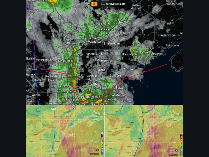
- Radar imagery shows widespread rain, stretching from New York to Maine
- Updates will be issued throughout the day as the system evolves
Rain Arrived Weaker Than Expected, but System Still Strengthening
Earlier rain bands that moved across New Hampshire and Massachusetts did not match the intensity of what models had indicated. Meteorologists describe this as a “fluke,” noting that such variations do occur when atmospheric dynamics shift slightly from projections.
Nonetheless, the broader system is still consolidating, with wind energy positioned just above the surface. Once heavier rainfall arrives, those winds may begin to mix downward — a pattern commonly seen during New England storm setups.
Strong Winds Sitting Just Above the Surface
Residents across the region may notice unusually calm air despite forecasts calling for gusty conditions. This is because the powerful wind field — capable of 50 mph or stronger gusts — remains elevated above the boundary layer. Forecasters explain that it typically requires a catalyst, such as intense rainfall or strong downdrafts, to force this wind energy toward the ground.
Communities in southwestern New England are already reporting the early stages of this downward momentum, suggesting the process may soon spread eastward.
Regional Radar Shows Widespread Moisture
Radar imagery Friday morning displayed a broad shield of rainfall covering much of Upstate New York, Vermont, New Hampshire, and coastal Maine. Additional moisture continues to feed northeastward, increasing the likelihood that heavier bands will form as the day progresses.
Meteorologists emphasize that “everything is coming together,” indicating that the full atmospheric profile needed to support stronger winds is aligning.
More Updates Expected as the Day Unfolds
Weather teams will continue monitoring radar trends, wind profiles, and surface observations through the afternoon. Conditions may change rapidly if the expected heavier precipitation arrives.
Have you noticed unusual calm or shifting wind conditions in your area today? Share your observations and follow updates at SaludaStandard-Sentinel.com.