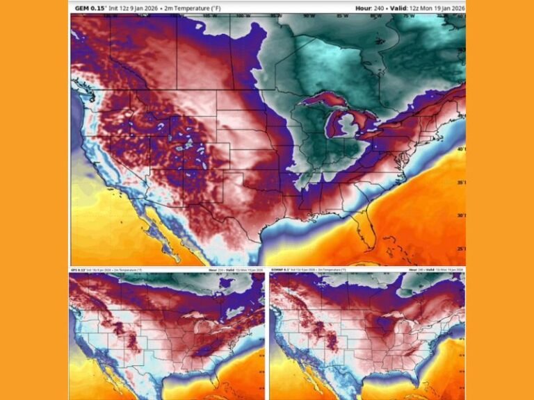
Major Arctic Cold Blast Expected Around Thanksgiving as New Pattern Shift and Sudden Stratospheric Warming Threaten Early Winter Surge
UNITED STATES – A major shift in the national weather pattern is poised to deliver a powerful Arctic cold blast around Thanksgiving, potentially marking the first true winter outbreak of the season. Forecasters say a strong ridge building over Alaska—paired with a recently confirmed Sudden Stratospheric Warming (SSW) event—may open the door for repeated rounds of bitter Arctic air to dive into the United States.
Alaska Ridge Opens the Path for Bitter Arctic Air
Meteorologists report that a powerful upper-level ridge over Alaska is developing at just the right time to “flip the pattern,” forcing cold air to spill southward. This setup typically supports cross-polar flow, a configuration known for funneling some of the coldest airmasses of the season into the lower 48 states.
This type of ridge-induced pattern reversal is one of the strongest signals for major temperature drops in November.
Sudden Stratospheric Warming Verified, Weakening the Polar Vortex
Forecasters have also confirmed a Sudden Stratospheric Warming event, an atmospheric disruption known to weaken or distort the polar vortex. When the vortex destabilizes, pieces of frigid Arctic air often break off and plunge southward into the U.S., sometimes in multiple waves.
These outbreaks tend to arrive in stages, and early indications show a similar progression this year:
• First push: Around Thanksgiving
• Second round: Early December
• Third surge: Mid-December, often the strongest
Meteorologists warn that each incoming blast of cold typically intensifies, raising the potential for widespread winter impacts deep into the holiday season.
Potential for Early Winter Conditions Through Mid-December
If the current model trends hold, the upcoming pattern shift may bring some of the earliest and coldest pre-winter temperatures seen in years. The combination of cross-polar flow and a weakened polar vortex dramatically increases the likelihood of multiple Arctic intrusions between late November and mid-December.
This means states from the northern Plains through the Midwest, Great Lakes, Appalachians, and even parts of the South could be affected by extended stretches of below-normal temperatures.
Winter May Arrive Earlier and Stay Longer Than Expected
After weeks of unseasonable warmth across much of the country, forecasters say winter may begin knocking early—and staying awhile. The progression of cold shots may align with travel periods, holiday gatherings, and early-season winter events.
Meteorologists will continue monitoring how each atmospheric component evolves, especially as Thanksgiving week approaches.
Are you preparing for colder-than-normal conditions this holiday season? Share your thoughts and stay updated with SaludaStandard-Sentinel.com for continuing coverage.


