Long-Range Model Signals Possible Late-January Snow Event Across Texas, Oklahoma, Arkansas, Tennessee, the Carolinas, and the Mid-Atlantic
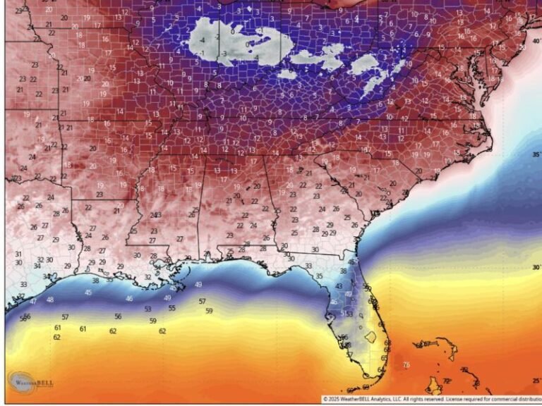
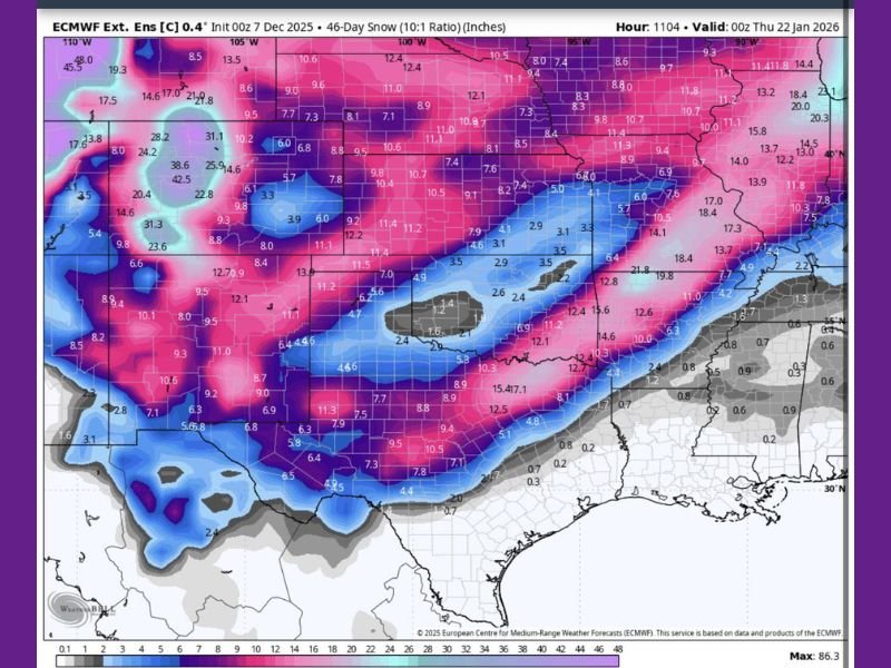
UNITED STATES — A new extended-range European model run is drawing widespread attention after highlighting a potential late-January snow pattern stretching from Texas and Oklahoma through Arkansas, Tennessee, the Carolinas, and into the Mid-Atlantic. The ECMWF ensemble snowfall map, valid near January 22, shows a broad corridor of possible accumulation more than six weeks away, signaling a pattern that forecasters consider worth monitoring.
Model Shows Broad Snow Corridor From Texas to Virginia
The ECMWF ensemble suggests a long ribbon of potential snowfall spanning West and Central Texas, Oklahoma, Arkansas, northern Louisiana, Mississippi, Tennessee, Kentucky, Alabama, Georgia, North Carolina, South Carolina, and Virginia. In some regions of the model, double-digit totals appear—though meteorologists stress these numbers are not literal forecasts.
Instead, the output signals that atmospheric conditions may favor a winter-storm setup:
- A strong cold air supply pushing into the central and eastern U.S.
- Active southern jet stream energy
- Repeated disturbances capable of producing widespread wintry precipitation
Meteorologists emphasize that this is not a prediction, but rather an early indicator of a possible pattern.
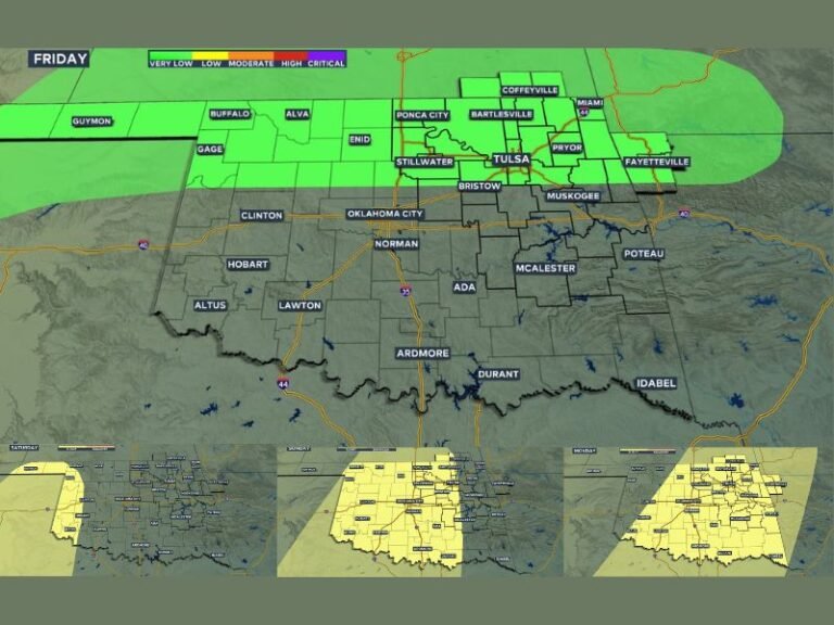
Southeast and Southern States Respond After Remembering January 2025
Social media reaction across the Southeast has been immediate. Residents in Texas, Oklahoma, Tennessee, Georgia, and the Carolinas vividly remember the disruptive January 2025 winter storm and are already watching the models closely.
That storm produced snow, ice, widespread disruptions, and multi-day cold, making communities especially sensitive to long-range suggestions of another late-January system.
Forecasters Urge Caution Despite Strong Online Reaction
Experts warn that 46-day model projections are extremely early and should not be interpreted as guaranteed snowfall. Instead, they highlight pattern potential—the likelihood of cold air, storm energy, and moisture aligning at the right time.
Consistency in upcoming model runs will determine whether this potential strengthens or fades.
Next Steps: Watching for Model Agreement
Meteorologists will continue monitoring extended-range guidance into January. If multiple major models begin showing similar patterns two to three weeks before the target date, confidence in a meaningful system will increase.
For now, this remains in the “trend-watching” category, not an official winter storm forecast.
Stay connected with developing winter weather updates, regional alerts, and detailed breakdowns at SaludaStandard-Sentinel.com.