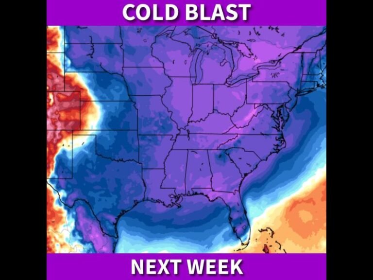
Indiana Faces Dangerous Ground Blizzard Overnight as Powerful Winds Trigger Whiteout Travel Conditions
INDIANA — Dangerous winter weather conditions are setting up across Indiana tonight as strong winds combine with fresh snowfall to produce widespread ground blizzard conditions, especially across northern parts of the state. While little to no new snow is expected to fall, existing snow on the ground will be violently blown and drifted, creating near-zero visibility and treacherous travel conditions through Tuesday morning.
Strong Overnight Winds Will Drive the Threat
Winds are expected to rapidly increase shortly after midnight, with statewide gusts between 25 and 35 mph, and gusts as high as 45 mph likely across northern Indiana. These powerful winds will be strong enough to lift and redistribute loose snow, reducing visibility dramatically even without active snowfall.
Meteorologists warn that wind intensity will peak overnight into early Tuesday morning, when travel conditions will be at their worst.
What a Ground Blizzard Means for Indiana
A ground blizzard differs from a traditional blizzard because snow is not falling from the sky. Instead, snow already on the ground is blown into the air, creating whiteout conditions, drifting roadways, and rapidly changing visibility.
Because Indiana received light, fluffy snowfall recently, conditions are considered ideal for ground blizzard development, particularly in open and rural areas.
Northern Indiana Expected to See the Worst Conditions
Northern Indiana is expected to experience the most severe impacts, including frequent whiteouts, deep snow drifts, and impassable rural roads. Some locations could experience periods of zero visibility, making travel extremely dangerous.
Southern Indiana will also see gusty winds and blowing snow, but conditions there are expected to be less severe than in northern counties.
Tuesday Morning Travel Could Be Extremely Hazardous
Drivers heading out early Tuesday should be prepared for significant drifting on rural roads, sudden visibility drops, and rapidly changing road conditions. Officials warn that some roads may become impassable, particularly in exposed areas.
Wind chills early Tuesday morning are expected to be near -15 degrees, adding an additional layer of danger for anyone stranded or traveling in poor conditions. Conditions should gradually improve later Tuesday as winds ease.
Safety Precautions Urged Across the State
Residents are urged to delay unnecessary travel, especially overnight and early Tuesday. Those who must travel should carry emergency supplies, keep headlights on, and avoid rural routes when possible.
What are conditions like where you live tonight? Share your experience and stay updated with continued weather coverage at SaludaStandard-Sentinel.com.