Hurricane Erin Weakens to Category 1 as It Moves Away from U.S. Coastline
EAST COAST, U.S. — Hurricane Erin has weakened to a Category 1 storm while moving further into the Atlantic, but its broad wind field is continuing to cause dangerous conditions along the U.S. shoreline.
As of Friday morning, Erin was located about 400 miles south of Nova Scotia, according to the National Hurricane Center. Despite its distance, the storm’s massive reach has kept coastal areas from the Carolinas to New England under flood and surf alerts.
Coastal Flooding and High Surf Advisories
Authorities warned of 1 to 2 feet of inundation in low-lying areas during high tide from the Carolinas through Long Island and into Maine. The storm’s wide wind field, stretching more than 400 miles from its center, has fueled beach erosion and rough seas across much of the East Coast.
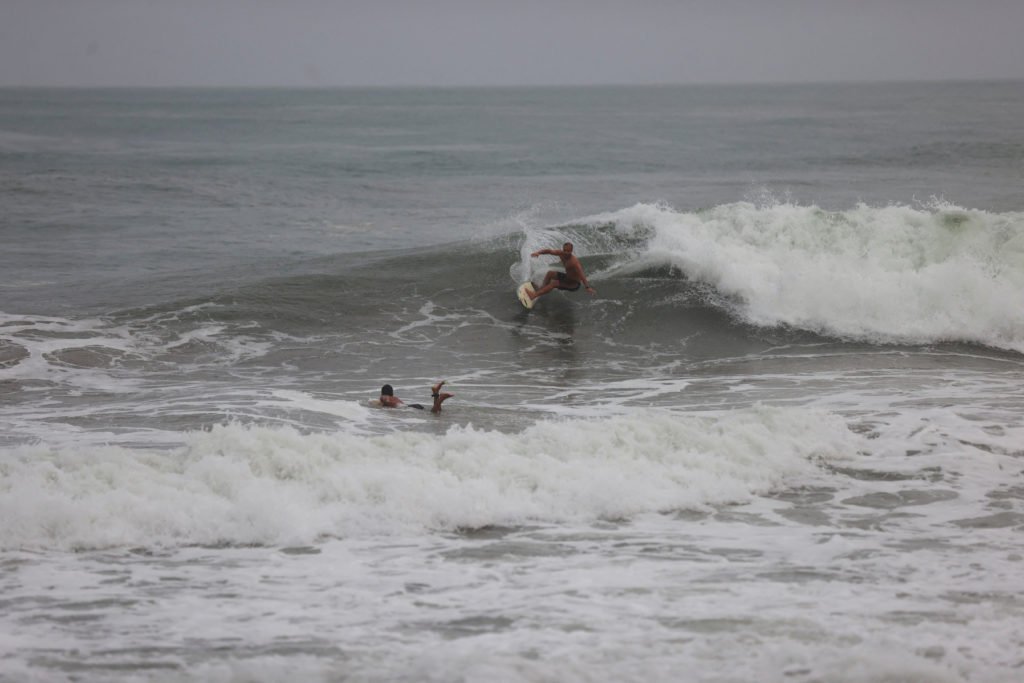
In coastal New England, waves could reach 15 feet into Saturday. Elsewhere, the Outer Banks, Jersey Shore, and New York City beaches may see surf heights of up to 10 feet.
Rip Current Risks Remain High
Even as Erin moves out to sea, rip current dangers will remain elevated through the weekend. Officials are urging beachgoers to avoid swimming in affected areas due to life-threatening conditions.
The National Weather Service has continued advisories for multiple states, cautioning that beach erosion could worsen in vulnerable communities.
Storm Expected to Transition
Meteorologists say Erin will likely lose its tropical characteristics and become a post-tropical system late Friday into Saturday. While its direct impact on the U.S. has diminished, the storm’s lingering effects will continue to be felt across coastal communities.
Readers across the Southeast and East Coast are encouraged to share how Hurricane Erin’s surf and flooding conditions have impacted their areas. Continue the discussion at SaludaStandard-Sentinel.com.