Hurricane Erin Prompts Evacuations on North Carolina’s Outer Banks as Rip Current Danger Grows
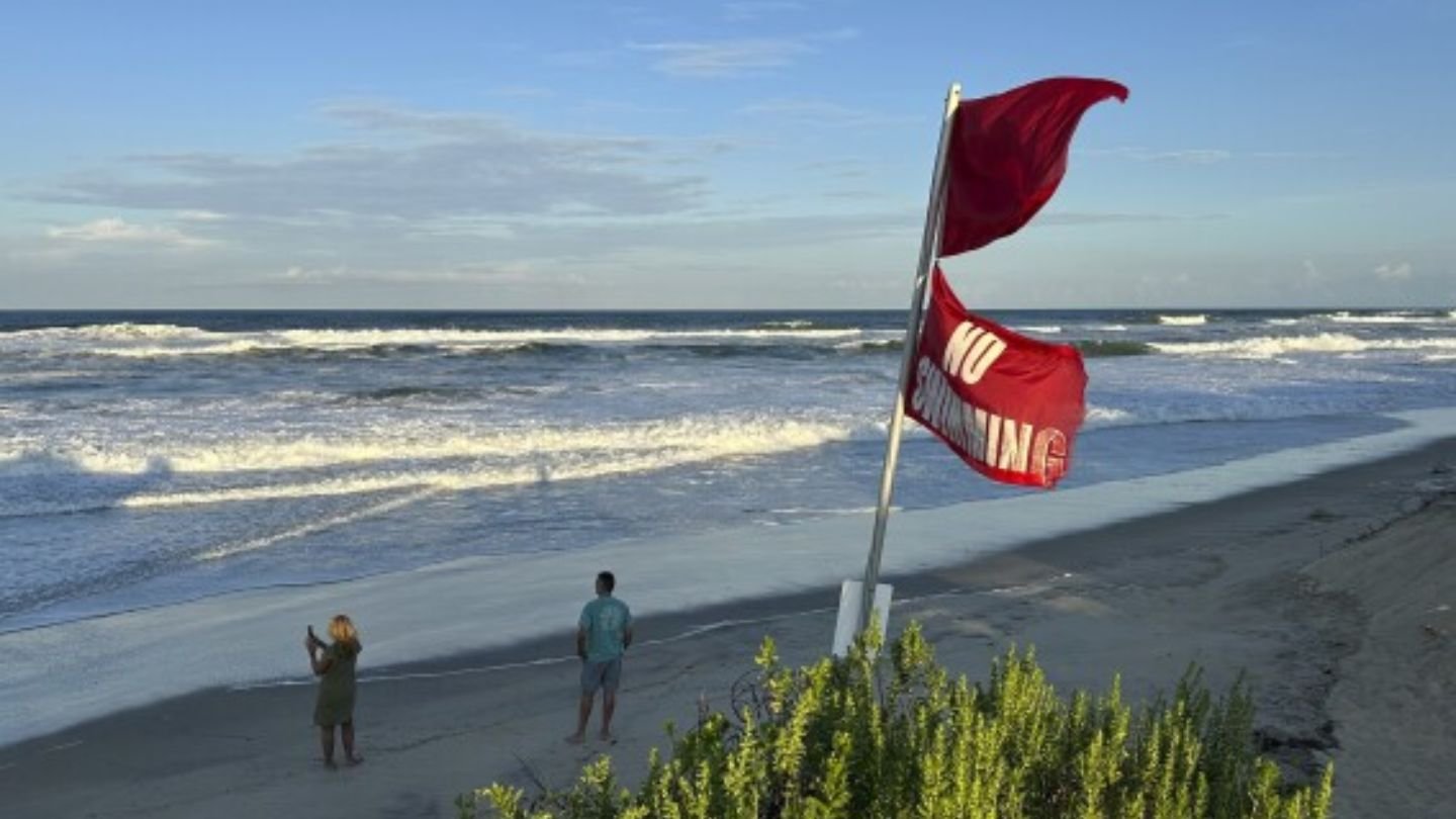
HATTERAS ISLAND, N.C. – Residents and visitors on the Outer Banks were ordered to evacuate this week as Hurricane Erin churned offshore, threatening the fragile barrier islands with dangerous rip currents, coastal flooding, and waves up to 15 feet.
Evacuations Disrupt Peak Tourist Season
The storm forced business owners and families to make quick adjustments at the height of the summer travel season.
Holly Andrzejewski, who had just opened the Atlantic Inn on Hatteras Island, said she was forced to reschedule her first guests only days after purchasing the historic property.
“It’s just one of those things where you know this is always a possibility and it could happen, and you just make the best out of it. Otherwise you wouldn’t live at the beach,” Andrzejewski said.
Authorities ordered evacuations on Hatteras and Ocracoke Islands, marking Ocracoke’s first since Hurricane Dorian in 2019 — the most destructive storm in the island’s recorded history.
Local grocer Tommy Hutcherson, who owns Ocracoke’s only grocery store, said he was hopeful Erin would not be as damaging.
“But you just never know. I felt the same way about Dorian and we really got smacked,” Hutcherson recalled.
Storm’s Strength and Track
By Tuesday morning, Erin had weakened slightly but remained a Category 3 hurricane with sustained winds of 110 mph, according to the National Hurricane Center. At that time, it was located about 720 miles south-southeast of Cape Hatteras, moving northwest at just 7 mph.
Forecasters are confident Erin will eventually curve north and remain offshore, but tropical storm and surge watches remained in effect for much of the Outer Banks. Coastal flooding was expected from Tuesday through Thursday.
Dangerous Rip Currents Already Reported
The National Weather Service reported at least 60 swimmers rescued from rip currents near Wrightsville Beach on Monday, underscoring the dangers along the coast even before Erin’s closest approach.
Acting Bermuda Minister of National Security Jache Adams warned against venturing into the surf:
“Surfers, swimmers and boaters must resist the temptation to go out. The waters will be very dangerous and lives will be placed at risk.”
Climate Change Intensifies Hurricane Risks
Scientists note that storms like Erin reflect broader trends in a warming climate. Warmer waters in the Atlantic provide more fuel for hurricanes, leading to rapid intensification and heavier rainfall.
Phil Rogers, director of the Bermuda Weather Service, said waves near Bermuda could swell to 24 feet by Thursday evening.
Do you think North Carolina communities like Hatteras and Ocracoke are prepared enough to handle repeated hurricane threats? Share your thoughts in the comments and join the discussion at SaludaStandard-Sentinel.com.


