Hurricane Erin Brings Dangerous Surf and Winds to North Carolina’s Outer Banks
NORTH CAROLINA – Residents and visitors along North Carolina’s Outer Banks are bracing for hazardous coastal conditions as Hurricane Erin strengthens offshore, bringing powerful surf, tropical winds, and threats of road flooding to the low-lying barrier islands.
Evacuations Ordered on Outer Banks Islands
As the storm churns in the Atlantic, local officials have ordered mandatory evacuations for Hatteras Island and Ocracoke Island, two of the most vulnerable areas in the Outer Banks. Though Hurricane Erin is not forecasted to make direct landfall, its massive wave activity and storm surge are enough to threaten the region’s fragile infrastructure.
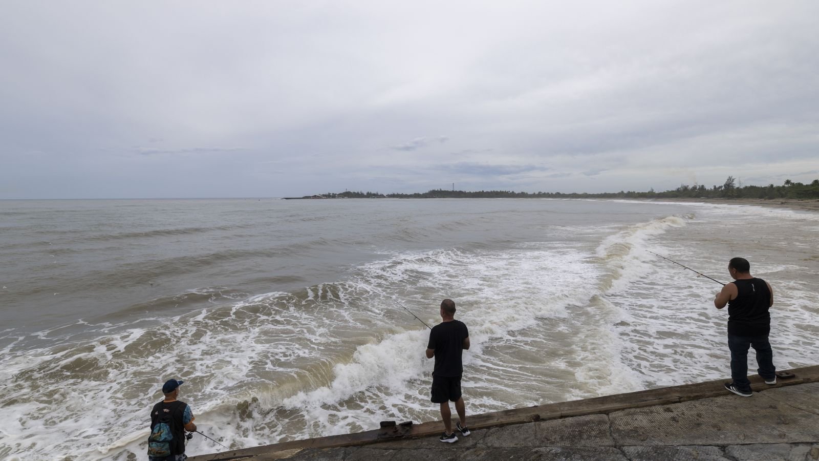
Waves as high as 15 feet are expected to pound the coastline, according to meteorologists tracking the storm. Roads could be inundated, and some parts of the main coastal highway may become impassable for days.
Storm Intensifies to Category 4; Briefly Reached Category 5
Erin initially escalated to Category 5 status on Saturday, reaching sustained winds of 160 mph before slightly weakening to Category 4 with winds of 140 mph early Monday. The storm’s current position places it about 110 miles north of Grand Turk Island and roughly 880 miles southeast of Cape Hatteras.
Although the forecast path shows the storm veering northeast, away from the U.S. mainland, the National Hurricane Center warns that tropical storm-force winds and dangerous rip currents are still highly likely along North Carolina’s shores through midweek.
Residents Cautious but Not Panicked
Despite the warnings, residents aren’t panicking just yet. “It’s so beautiful outside. It’s hard for people to feel like there’s a hurricane coming when it’s so gorgeous,” said Angela Tawes, a co-owner of Conner’s Supermarket on Hatteras Island.
The scenic charm of the area — especially during peak tourist season — may be lulling some into a false sense of calm, even as storm bands approach.
Scientists Warn of Climate-Driven Storm Intensification
Meteorologists and climate scientists have emphasized that climate change is playing a significant role in the growing severity of Atlantic hurricanes. Warmer ocean waters are giving these storms more fuel, leading to rapid intensification and greater rainfall potential, trends that have been evident with Erin’s development.
The outer bands of Hurricane Erin have already brought heavy rain and strong winds to Puerto Rico and the Virgin Islands, and more tropical systems are expected during this active hurricane season.
Stay with SaludaStandard-Sentinel.com for real-time updates, emergency instructions, and coastal alerts as Hurricane Erin continues to impact North Carolina and the broader East Coast.