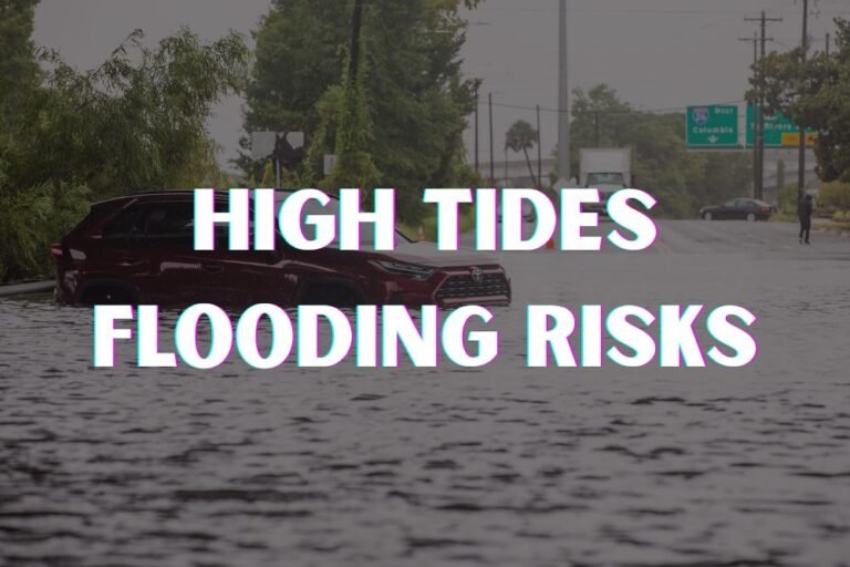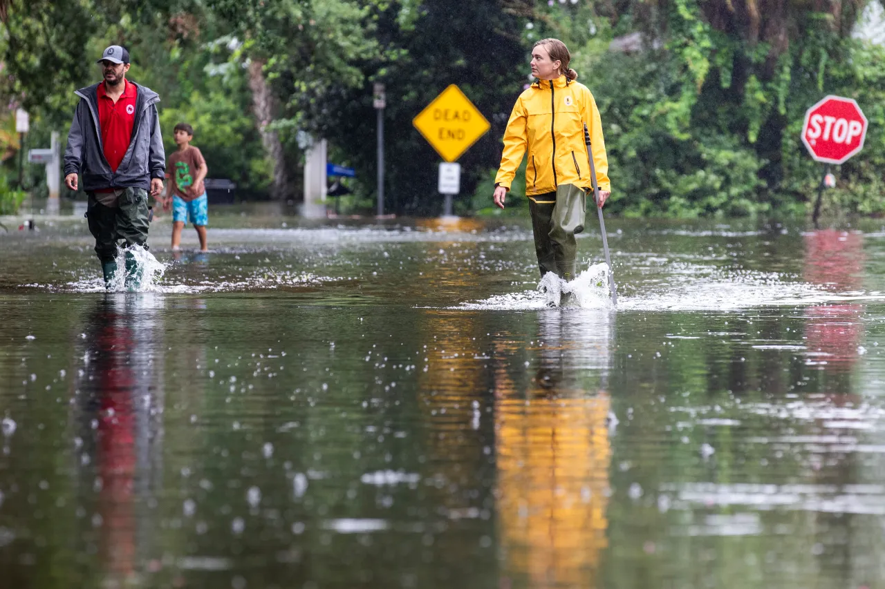
Coastal Georgia Weather Update: Heavy Rain, Flood Threat Through Early Monday
Coastal Georgia – Coastal Georgia and the South Carolina Lowcountry are under heightened flood risk as a slow-moving system brings heavy rain through Sunday night into early Monday. Forecasters warn that localized totals could exceed 5 inches, potentially inundating low-lying neighborhoods, roadways, and creeks from Charleston, South Carolina, to Savannah, Georgia.
National Weather Service Issues Flood Watch
The National Weather Service in Charleston reports that most areas should see 1 to 3 inches of rainfall, but slow-moving thunderstorms could cause much higher amounts in isolated spots.
A Flood Watch remains in effect through 6 a.m. Monday, with flash flooding most likely during high tide.
Areas at Highest Risk
Communities along U.S. 17 and I-95 face increased flooding potential, especially in low-lying and poor-drainage areas. The heaviest rain is forecast from Hinesville, Georgia, to Moncks Corner, South Carolina, where roads could become impassable overnight.
Emergency management officials are urging residents to:
- Avoid non-essential travel during peak rainfall
- Never drive through flooded roads
- Secure outdoor property in advance of potential flooding
Lingering Impacts Into Monday
While the system’s intensity should ease after sunrise Monday, lingering showers could keep creek and river levels elevated into the afternoon. Additional advisories are possible if rainfall totals surpass early forecasts.
Community Preparedness
Residents in flood-prone neighborhoods are encouraged to prepare emergency supplies, monitor official weather updates, and plan alternate travel routes. Floodwaters can rise quickly, and safety officials stress that “Turn Around, Don’t Drown” remains the rule when encountering water-covered roads.
Stay with Saluda Standard-Sentinel for continuing updates as this weather system moves through the region.