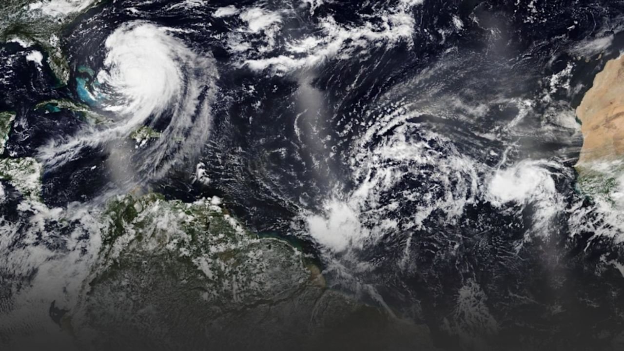
Caribbean Storm Update: Bahamas Slammed by 35-Foot Waves as Tropical Storm Erin Moves Away From North Carolina
NASSAU, Bahamas — A powerful tropical storm has battered the Bahamas overnight, driving seas above 35 feet and winds of 30–40 knots. The National Hurricane Center warns that conditions will remain life-threatening for mariners and beachgoers through Thursday.
But this storm isn’t isolated. Earlier this week, Tropical Storm Erin impacted North Carolina, producing gusts of up to 45 mph and dangerous rip currents along the Outer Banks. While Erin carried a lower risk profile—no tornadoes or catastrophic flooding were reported—it underscores the broad reach of Atlantic tropical systems during peak season.
The Bahamas: Severe Marine Impacts
The storm’s largest waves peaked near 35 feet, threatening commercial shipping and stranding fishing fleets across Nassau, Freeport, and Abaco. Ports remain closed, and ferry services suspended.
Authorities report:
- Street flooding in Nassau neighborhoods.
- Power line damage in Freeport.
- Flight delays and cancellations as crosswinds disrupted travel.
Though winds are expected to ease Thursday night, seas will remain rough, keeping beaches closed through the weekend.
North Carolina’s Erin: Different Hazards
In contrast, Erin’s threat in North Carolina was less severe but still disruptive. The National Weather Service Newport/Morehead City noted sustained winds of 20–30 mph with gusts up to 45 mph, enough to down tree limbs and cause isolated power outages.
Erin’s primary hazards included:
- Rough surf and rip currents along the Outer Banks.
- Scattered rainfall with little flash flooding risk.
- Travel concerns due to debris on rural roads.
By Thursday afternoon, Erin moved offshore, leaving behind residual rip currents but sparing the region from major damage.
Atlantic Basin Storm Picture
Together, these two systems show how tropical storms vary drastically by geography:
- Bahamas: Exposed directly to deep Atlantic swells, making wave heights more extreme and dangerous for maritime trade.
- North Carolina: Experienced strong winds and dangerous surf, but inland impacts were minimized.
This week’s back-to-back events highlight the unpredictability of late-summer tropical activity, when storms may simultaneously threaten both Caribbean islands and the U.S. mainland.
Safety Guidance
Authorities urge:
- Bahamians to stay indoors until seas fall below 15 feet by Thursday night.
- North Carolina residents to continue avoiding surf zones due to lingering rip currents.
- Mariners to remain docked in both regions until advisories are lifted.
The Bahamas will see gradual improvement Friday into the weekend, though residual swells of 8–12 feet could linger until Sunday. North Carolina’s coast is expected to normalize sooner, though lifeguards warn that rip currents remain a hidden danger.
Have you experienced the Bahamas storm or North Carolina’s Tropical Storm Erin this week? Share your updates in the comments on SaludaStandard-Sentinel.com.