Arctic Cold Front Set to Drive Widespread Freezing Temperatures Across Florida Early Friday Morning
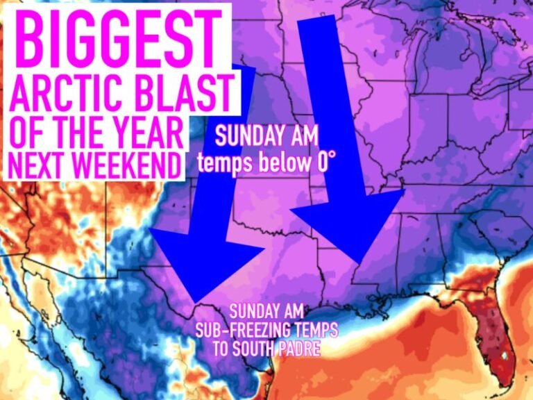
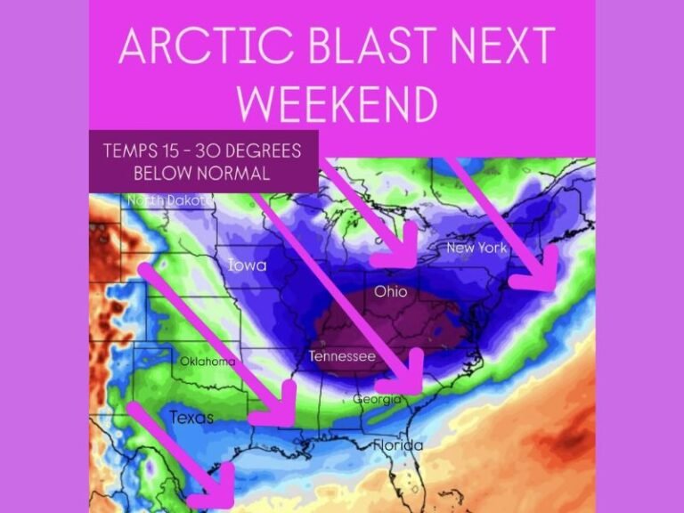
FLORIDA — A strong Arctic air mass pushing south behind a cold front Thursday is expected to bring one of the coldest mornings of the season to Florida early Friday, with freezing temperatures reaching far deeper into the state than usual and wind chills making conditions feel even colder.
Cold Front Arrival Sets Stage for Sharp Temperature Drop
Forecast data shows a powerful cold front sweeping through Florida on Thursday, opening the door for Arctic air to spill south overnight. By daybreak Friday, temperatures are expected to plunge rapidly, especially across northern and central parts of the state.
The cold air will arrive quickly, leaving little time for gradual cooling and increasing the likelihood of widespread freeze conditions north of central Florida.
Northern Florida Faces Hard Freeze Conditions
Northern Florida is expected to see some of the coldest readings, with morning lows in the low 20s across parts of the Panhandle and northeast Florida. Several inland locations are forecast to drop well below freezing, creating a hard freeze risk.
These temperatures are cold enough to damage sensitive vegetation and create icy conditions in isolated spots, particularly where winds remain elevated overnight.
Central Florida Drops Into the Freezing 30s
Much of central Florida, including areas along and south of the I-4 corridor, is expected to wake up to low to mid-30s Friday morning, placing these regions at risk for a light freeze.
Cities across interior central Florida may briefly dip to or just below freezing before sunrise, while coastal locations remain slightly warmer due to marine influence.
South Florida Escapes Freeze but Still Turns Unusually Cold
South Florida is expected to avoid freezing temperatures, but conditions will still be unseasonably cold by regional standards. Forecast lows range from the upper 30s to low 40s across much of South Florida.
Even the southernmost areas, including Miami, are forecast to fall into the low 40s, while the Florida Keys remain the warmest spot, with temperatures holding in the low 50s.
Wind Chill Adds to the Cold Impact
Gusty winds accompanying the Arctic air will make temperatures feel even colder than the thermometer suggests, especially during the early morning hours. Wind chills in northern and central Florida may dip into the 20s, increasing discomfort and cold exposure risk.
Bottom Line: Rare Cold Morning for Much of the State
Friday morning’s cold snap will be brief but impactful, bringing freezing temperatures deep into Florida before gradual warming begins later in the day. Residents are urged to protect pets, plants, and exposed pipes, especially across northern and central Florida. Stay with SaludaStandard-Sentinel.com for continued coverage and updates as this Arctic blast moves through the region.


