Major Winter Storm Threat Looms for Central and Eastern United States as Early December Models Show Significant Weather Setup
UNITED STATES — Meteorologists are closely watching the first week of December as major forecast models show signs of a powerful multi-region storm system that could impact large parts of the Central and Eastern U.S. between December 1 and December 5.
A developing clash between warm southern air and early-season northern cold could create a sharp baroclinic zone — a common trigger for winter storms and severe-weather outbreaks.
Models Indicate Possible Blizzard Conditions Across the Midwest and Great Lakes
According to early analyses shared by storm forecaster Adam Lucio, both the GFS and EURO models support a stormy pattern during the Dec. 1–5 timeframe.
The EURO model hints at the possibility of a large, consolidated blizzard-type system, while the GFS shows multiple weaker storms crossing the central portion of the country.
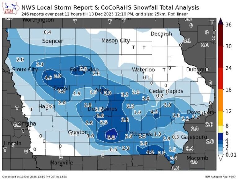
If the EURO scenario plays out, states such as Nebraska, Iowa, Minnesota, Wisconsin, and Michigan could face heavy snow, strong winds, and widespread disruption.
Forecast maps trending on social media display a large winter-storm zone stretching across the northern Plains and upper Midwest in early December.
Southeast and Mid-South Could See Heavy Rain and Severe Weather
While the upper Midwest braces for potential snow, southern and southeastern regions could see a completely different hazard profile.
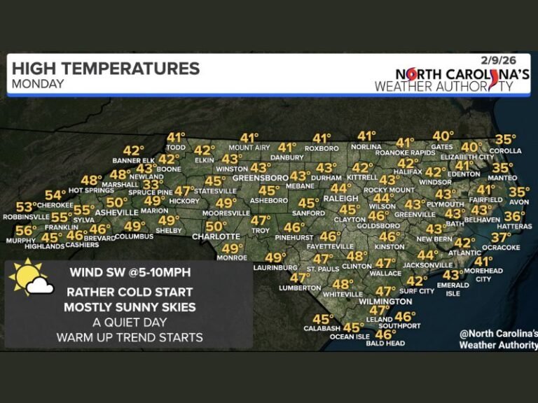
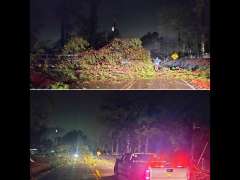
Early projections show Tennessee, Alabama, Georgia, and the Carolinas sitting in a corridor of heavy rain, thunderstorms, and possibly severe weather, depending on how the storm system organizes.
Meteorologists say the setup is driven by a strong temperature contrast: very cold air to the north meeting unseasonably warm conditions to the south — a classic pattern for dynamic storms.
Temperature Clash Expected to Drive Storm Formation
Data from the Climate Prediction Center (Nov. 29–Dec. 5) shows a sweeping area of below-average temperatures across the Rockies and Midwest, while warmer air dominates the Southeast.
This pronounced temperature gradient is a key ingredient in winter storm formation and could intensify the system as it moves east.
Forecasters stress that the precise storm track will determine which areas see snow, ice, or severe storms.
Experts Warn That While Details May Shift, the Signal Is Strong
Meteorologists caution that it is still too early to pinpoint snowfall totals or exact impacts, but the consistency between major models reinforces the likelihood of a notable early-December weather event.
Lucio noted that “something is on the horizon,” encouraging residents across the Central and Eastern U.S. to monitor upcoming forecasts closely.
If you live in a region that could be affected or want to share how you’re preparing for winter weather, join the discussion at SaludaStandard-Sentinel.com.


