Tornado Risk Issued for Central Texas to Northwest Arkansas as Thursday Storms Develop
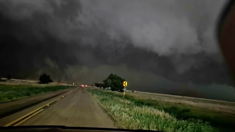
TEXAS — The Storm Prediction Center (SPC) has issued a low-end tornado risk for Thursday, warning that a few brief or weak tornadoes could develop across parts of central Texas, southern Oklahoma, and northwest Arkansas.
The threat comes as a new storm system moves through the region, producing thunderstorms capable of rotating updrafts and localized severe weather during the afternoon and evening hours.
Where the Tornado Risk Is Highest
Meteorologists say the risk zone extends from Brownwood and Waco, Texas, northeast through Dallas-Fort Worth, into Fort Smith, Arkansas. The storms will generally form east and south of I-44, where atmospheric conditions will favor isolated tornado development.
Areas under the elevated risk include:
- Dallas-Fort Worth Metroplex
- Waco and Killeen
- Fort Smith, Arkansas
- Southeastern Oklahoma, including the Durant and Ada regions
The SPC notes that “a couple of brief tornadoes are possible,” primarily during the late afternoon to early evening hours on Thursday.
Weather Setup Behind the Threat
A strengthening low-pressure system will move east across the Southern Plains, drawing in warm, moist Gulf air and colliding with a cooler air mass to the north. This setup could lead to supercell development in a narrow corridor stretching from central Texas through eastern Oklahoma.
Forecasters emphasize that the risk remains limited but worth monitoring, as even brief tornadoes can cause damage in populated areas.
Safety Tips for Residents
Residents across the watch area are encouraged to remain alert to rapidly changing weather conditions and to have multiple ways to receive warnings — especially during the evening and overnight hours.
Authorities recommend:
- Monitoring NOAA Weather Radio or mobile alerts for updates.
- Knowing your safe shelter location ahead of time.
- Avoiding travel during storms if possible.
Timing the Storms
- Thursday Morning: Thunderstorms begin forming across west-central Texas.
- Thursday Afternoon: Stronger storms develop and move toward the Dallas-Fort Worth and Waco areas.
- Thursday Evening: Cells may move into southeastern Oklahoma and northwest Arkansas, bringing the risk of brief tornadoes or strong wind gusts.
The storms are expected to weaken after sunset, but forecasters caution that isolated severe weather may persist into the night.
Residents in Texas, Oklahoma, and Arkansas are urged to stay weather-aware and ensure that overnight alerts are activated to provide warnings while asleep.
For continued severe weather coverage and updates, visit SaludaStandard-Sentinel.com.


