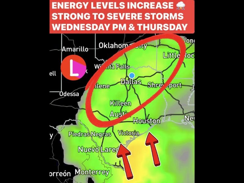
Strong to Severe Storms Expected in Texas and Surrounding Areas as Heavy Rainfall and Flash Flooding Threat Increase Through Thursday
TEXAS – A surge of atmospheric energy is setting the stage for strong to potentially severe storms across Texas and nearby regions beginning Wednesday and intensifying into Thursday. After a stretch of record-breaking November warmth, temperatures are expected to climb into the upper 80s again Monday, fueling instability ahead of the incoming storm system.
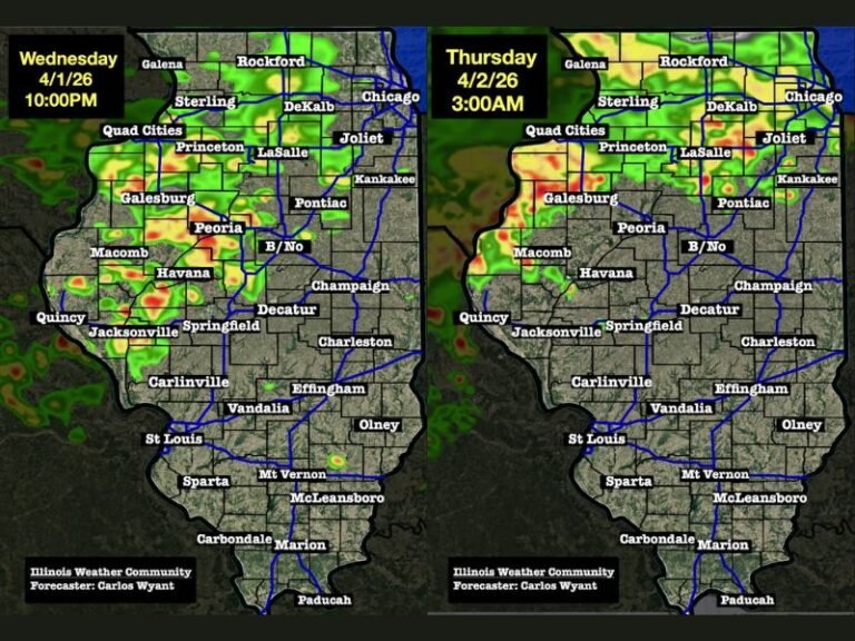
First Round Arrives Wednesday With Scattered Rain
The initial round of storms is expected to develop Wednesday afternoon, bringing scattered rain with around 40% coverage. Forecasters note that this first phase will be less organized, with most of the significant activity holding off until later in the evening.
Models show early showers forming across areas from Dallas to Austin and Houston, but severe activity is not expected until instability increases overnight.
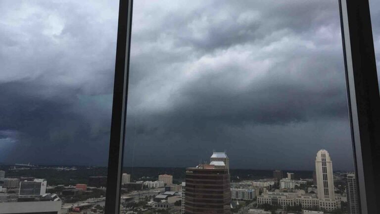
Storms Strengthen Wednesday Night Into Thursday
By Wednesday night, conditions become far more favorable for severe weather. A strengthening atmosphere will support:
• Gusty winds
• Small hail
• Frequent lightning
• Pockets of heavy rainfall
This period marks the beginning of a more intense storm window as moisture deepens and instability increases across central and eastern Texas.
Thursday Identified as the Main Severe Weather Event
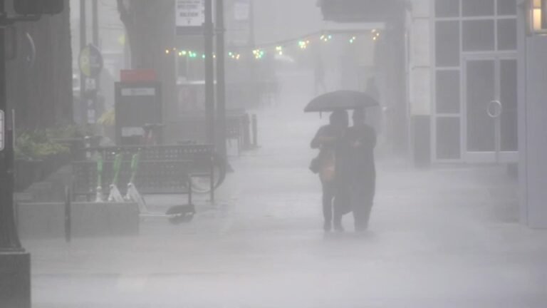
Forecasters emphasize that Thursday is when the system becomes most impactful. Atmospheric saturation levels near 90% for this time of year will support rainfall rates up to 2 inches per hour. A setup for training thunderstorms—storms repeatedly moving over the same areas—raises concern for flash flooding.
Expected rainfall totals include:
• 2 to 4 inches for most areas
• Isolated higher amounts possible, especially in training zones
This environment could create travel disruptions, rapid rises in creeks and streams, and localized flooding in urban areas.
Conditions Improve After the Storms
Once the system moves out, the region will see a noticeable improvement. Forecasts show:
• Clearing on Friday with highs in the upper 60s
• Mostly quiet and seasonal weather on Saturday
• Another round of rain possible on Sunday
The post-storm pattern will feel significantly cooler and calmer compared to the unstable stretch midweek.
Residents are encouraged to ensure they receive emergency alerts by email, phone, or text as the storm threat approaches.
How are you preparing for the incoming storm system? Share your thoughts and stay updated with SaludaStandard-Sentinel.com for continuing coverage.