High Tides Raise Flood Risk in Carolinas as Tropical Storms Swirl in Atlantic and Pacific
CHARLESTON, S.C. — An unnamed coastal storm combined with unusually high king tides is flooding streets along the Carolina coastline, as multiple tropical systems spin across the Atlantic and Pacific Oceans, creating unstable weather patterns and high surf.
Flooding Reported in Charleston
By early Friday, officials reported that a dozen streets were flooded in downtown Charleston, prompting the city to offer free garage parking to protect vehicles from rising saltwater.
Forecasters say the morning high tide peaked at 8.5 feet, ranking among the top 15 highest tides in Charleston Harbor’s century-long record.
“This is one of the strongest king tides of the year,” meteorologists said, noting that onshore winds from the offshore storm will keep water levels elevated through the weekend.
Outer Banks Braces for Ocean Overwash
Farther north, forecasters warn of overwash and flooding along North Carolina’s Outer Banks, particularly on Highway 12 between Hatteras and Ocracoke Islands.
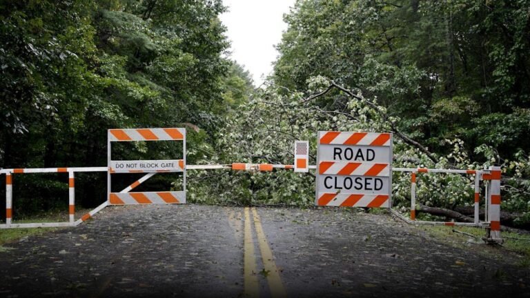
The National Weather Service said flooding may worsen during the next high tide cycles, likely forcing temporary road closures as waves crash over dunes.
Tropical Storms Brewing on Both Coasts
The Atlantic currently features Tropical Storm Jerry, located east of the northern Leeward Islands, with 60 mph winds. The storm is expected to strengthen into a hurricane by Saturday before turning out to sea, steered by the same coastal system bringing rain and surf to the Southeast U.S.
Meanwhile, in the Pacific, Tropical Storms Priscilla and Raymond are threatening Mexico’s western coast with heavy rainfall and flash flooding. Priscilla, located 190 miles northwest of Cabo San Lazaro, is moving slowly north with 50 mph winds, while Raymond, near Zihuatanejo, is forecast to approach Baja California Sur by Sunday.
La Niña Pattern Returns
Meteorologists also confirmed that the La Niña cooling pattern has returned to the Pacific Ocean, a shift known to influence global weather patterns and intensify hurricane activity.
Although late in the Atlantic season, La Niña could still shape weather extremes, from coastal flooding to drought and snowfall variations across North America.
The Saluda Standard-Sentinel encourages readers along the Carolinas to share photos and updates from local flood-prone areas at SaludaStandard-Sentinel.com.


