Tropical Development Near Florida Could Bring Rain, Storms to North Carolina Midweek
WINSTON-SALEM, NORTH CAROLINA — Meteorologists are tracking a developing low-pressure system near Florida and The Bahamas that could move north and impact parts of North Carolina by midweek, bringing rain and thunderstorms depending on how the storm system evolves.
Tropical Areas of Interest
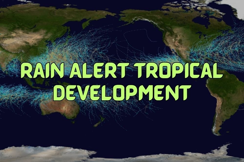
According to the National Hurricane Center (NHC), two tropical disturbances are being monitored in the Atlantic Ocean.
The first is a broad tropical wave east of the Leeward Islands and west of Cabo Verde, which may begin to organize over the next seven days. The second — and more concerning for the United States — is a low-pressure area forming near the Florida coast.
Potential Coastal Development
The system currently sits over The Bahamas and is associated with a former frontal boundary, producing showers and thunderstorms that could become more widespread over the next few days.
Meteorologist Michelle Kennedy said this area of disturbed weather may drift across the Florida Peninsula into the Gulf of Mexico, bringing heavy rain at times. However, strong wind shear in the upper jet stream could inhibit significant tropical development in the short term.
“It’s an area to watch,” Kennedy said. “Some forecast models favor lifting it north as a developing coastal low-pressure system that could bring rain and storms to North Carolina by Wednesday.”
What North Carolina Could Expect
If the system organizes and tracks northward, eastern and coastal North Carolina could experience increased rainfall, gusty winds, and thunderstorms by midweek.
However, there remains uncertainty among forecast models about whether the low will strengthen enough to develop into a named storm before being pushed offshore by an approaching cold front.
Florida and Bahamas Impact
For now, the heaviest rainfall is expected to remain over Florida and The Bahamas, where tropical downpours could produce localized flooding and strong wind gusts. The system is not currently expected to reach hurricane strength, but forecasters say the setup is fluid and could evolve quickly.
Hurricane Season Update
The 2025 Atlantic Hurricane Season runs through November 30, and the next storm names on the list are Jerry, Karen, and Lorenzo. So far, the remnants of Humberto and Imelda have moved across the Atlantic toward the United Kingdom and Ireland, leaving a brief lull in tropical activity.
As the new disturbance takes shape near Florida, forecasters are urging residents across the Carolinas and Southeastern U.S. to stay alert to daily forecast updates and model changes.
Do you think North Carolina should invest more in coastal flood mitigation as tropical systems trend farther north each year? Share your thoughts and join the conversation at SaludaStandard-Sentinel.com.