Virginia Weather Alert: Severe Storms With Hail and Damaging Winds Threaten Blue Ridge Saturday Evening
BLACKSBURG, V.A. — Residents across the Blue Ridge and Virginia Piedmont are being urged to prepare for severe thunderstorms Saturday afternoon and evening, bringing the risk of hail, damaging winds, and isolated power outages, according to the National Weather Service in Blacksburg.
Greatest Risk Along and East of Blue Ridge
Forecasters said storms are expected to intensify late in the day, especially along and east of the Blue Ridge Mountains.
The strongest systems could knock down trees and power lines, particularly across the Virginia Piedmont and into northern North Carolina. While gusty winds remain the primary hazard, small hail and localized structural damage are also possible.
Timing and Areas of Concern
Storms are projected to develop by mid-afternoon and last through sunset, with impacts possible in Lynchburg, Danville, and Roanoke.
Evening commutes could be slowed by heavy rain and reduced visibility. The weather service urges residents to have multiple ways to receive warnings and to move indoors quickly if storms approach.
Travel Impacts and Safety Guidance
Motorists traveling on U.S. 29 and Interstate 81 should anticipate hazardous conditions, including ponding water and low visibility. Outdoor events and activities are strongly discouraged due to the risk of lightning strikes.
The severe threat should fade after sunset, but lingering showers may persist overnight. More storm chances are expected later this weekend.
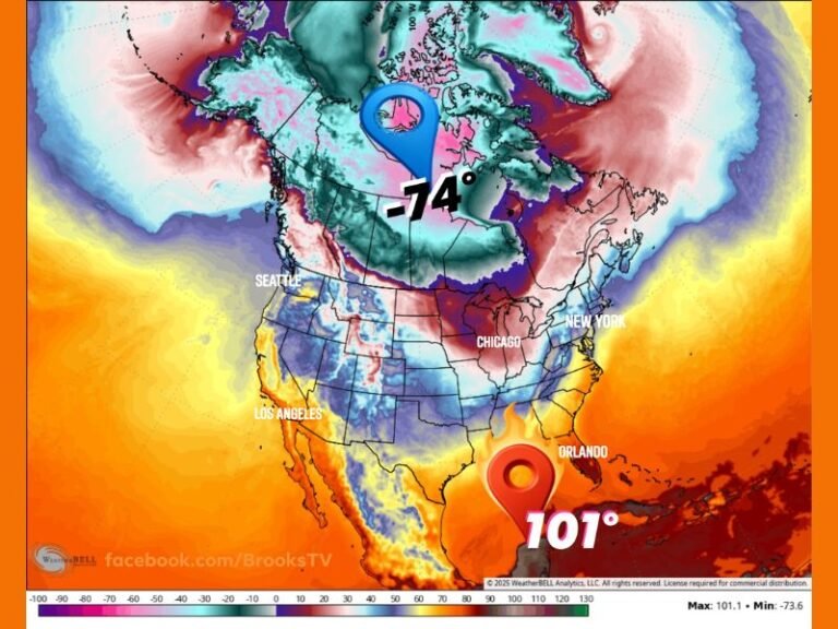
With late-summer heat feeding instability in the atmosphere, even short-lived storms could pack dangerous punch across Virginia.
How do you prepare for sudden severe storms when traveling through Virginia’s mountains and Piedmont regions? Share your tips with us at SaludaStandard-Sentinel.com.