Strong Wind Gusts of 35 to 45 MPH Expected Across Eastern Pennsylvania Saturday Morning With Downed Trees and Isolated Power Outages Possible
PHILADELPHIA, PA — An Arctic-sourced low pressure system tracking into the Northeast will deliver an unusually strong and gusty wind event to portions of Pennsylvania on Saturday morning into the early afternoon, with eastern Pennsylvania facing the brunt of 35 to 45 mile per hour wind gusts capable of downing tree branches and causing isolated power outages while temperatures run as much as 10 to 15 degrees below seasonal averages across the state.
Eastern vs Western Pennsylvania Wind Split
A clear and significant geographic divide in wind impacts is forecast across Pennsylvania on Saturday, with eastern portions of the state bearing the greatest exposure to damaging wind potential while western Pennsylvania experiences a considerably more manageable situation.
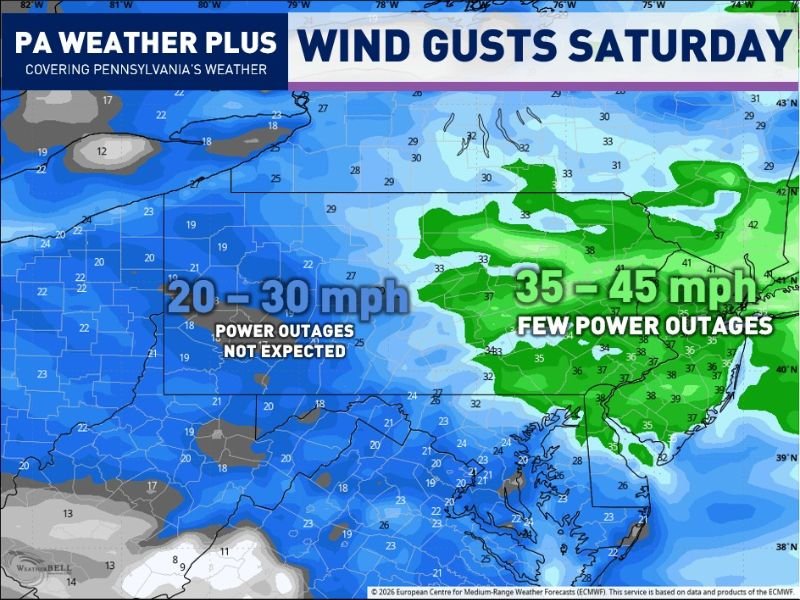
Eastern Pennsylvania is forecast to see gusts ranging from 35 to 45 miles per hour during Saturday morning and into the early afternoon hours, a range that forecasters indicate carries the potential for isolated power outages, particularly given that trees are currently in full leaf condition, dramatically increasing the surface area that wind can act upon compared to the bare tree scenarios typical of winter wind events.
Why Leafed Trees Increase the Danger
The timing of this wind event during late May is particularly noteworthy because fully leafed trees present significantly greater resistance to wind loading than dormant trees during the winter months when strong synoptic wind events are far more common across Pennsylvania.
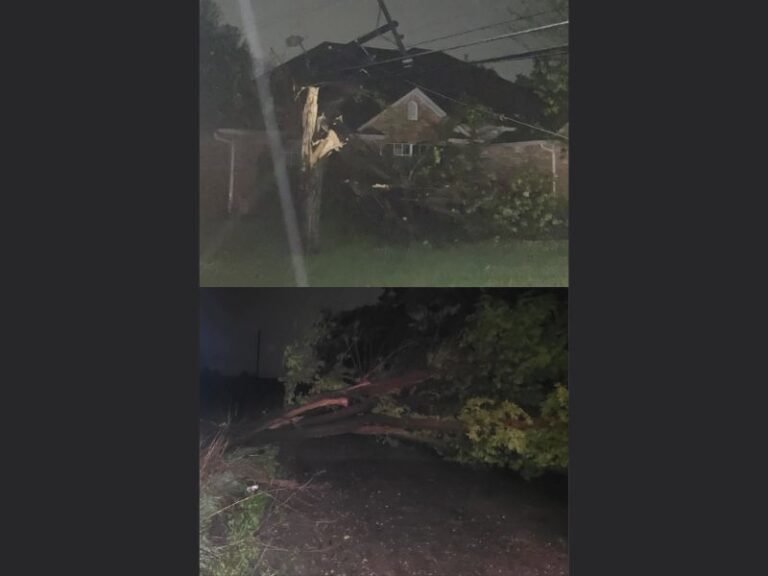
Wind gusts that might pass through bare winter trees without consequence can instead snap branches or topple weakened trees entirely when foliage is fully developed, making Saturday’s 35 to 45 mile per hour gusts across eastern Pennsylvania more impactful than the same speed winds would be in January or February.
Arctic Low Driving the Cold and Wind
The meteorological driver behind Saturday’s wind and cold is a low pressure system of Arctic origin tracking southward into the Northeast, an atypical late May weather pattern that is simultaneously delivering the gusty winds and a notable cold shot to the region.
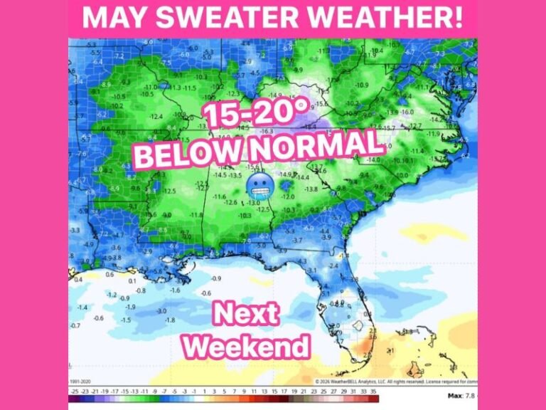
High temperatures across Pennsylvania on Saturday are expected to run 10 to 15 degrees below seasonal averages, a significant departure for late May that will feel noticeably sharp to residents who have already begun transitioning mentally and physically into summer mode across the mid-Atlantic region.
Western Pennsylvania Escapes the Worst
Residents across western Pennsylvania can expect a breezy but considerably less impactful Saturday, with wind gusts forecast in the 20 to 30 mile per hour range that forecasters indicate will not produce power outages and will represent typical breezy conditions rather than a meaningful wind damage threat.
Residents across eastern Pennsylvania are advised to secure loose outdoor furniture and remain aware of the power outage potential during the Saturday morning peak wind window.
For continuing coverage of wind events and severe weather impacts across the United States, visit SaludaStandard-Sentinel.com.
Author: Saluda Standard-Sentinel Team | Category: US News