Eastern United States Faces Expanding Hazardous Cold Zone as Late-January Winter Threat Intensifies
UNITED STATES – The UNITED STATES is preparing for another high-impact winter pattern as forecasters track a growing zone of hazardous cold, strong winds, and potential heavy snow spreading across large portions of the eastern half of the country late this week and into early February.
Hazardous Cold Expands Across Multiple Regions
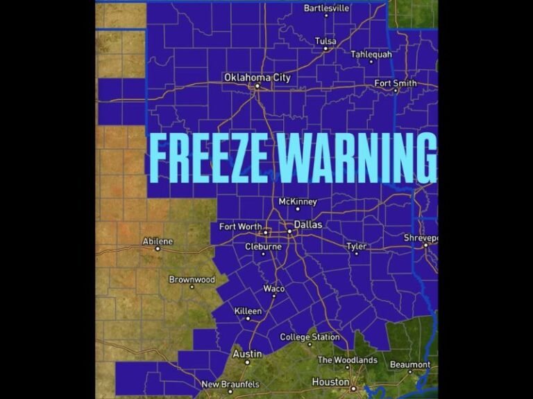
Forecast data shows dangerous cold air spreading from the central Plains through the Midwest, Ohio Valley, Southeast, and into the Northeast. The most widespread impacts are expected January 30 through February 2, with multiple regions experiencing prolonged subfreezing conditions.
States most at risk include parts of Texas, Arkansas, Louisiana, Mississippi, Tennessee, Kentucky, Ohio, Indiana, Illinois, Michigan, Georgia, Alabama, the Carolinas, Virginia, Pennsylvania, and New York. In these areas, temperatures are expected to remain well below seasonal averages, creating a multi-day cold stress event rather than a brief overnight freeze.
Prolonged Duration Raises Infrastructure and Safety Concerns
Unlike short cold snaps, this event is notable for its duration, with some areas remaining under hazardous cold conditions for three to four consecutive days. Extended cold increases the risk of frozen pipes, power demand strain, vehicle failures, and dangerous exposure for anyone outdoors.
Overnight lows may drop into the single digits or teens across the Southeast, with sub-zero wind chills possible farther north, particularly in parts of the Midwest and Great Lakes region.
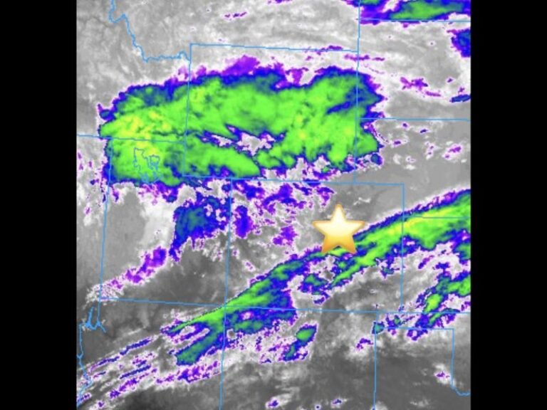
Heavy Snow Threat Along the Eastern Seaboard
While cold will be the dominant hazard, the outlook also highlights a potential heavy snow zone along the eastern seaboard, particularly from the Mid-Atlantic into parts of New England between January 31 and February 1.
The exact placement of heavier snowfall remains uncertain, but even modest shifts in storm track could significantly alter local impacts, including travel disruptions and power outages.
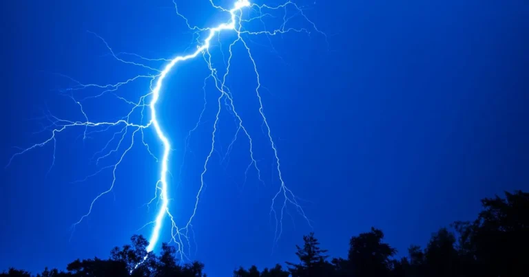
High Winds Add to Dangerous Conditions
Strong winds are expected to accompany the cold air mass, especially across the Northeast, where high winds on February 1 may worsen wind chill values and contribute to hazardous travel and potential infrastructure issues.
Wind-driven cold significantly increases the risk of frostbite and hypothermia, even when air temperatures alone may not seem extreme.
What Residents Should Prepare For Now
Residents across the affected regions should prepare for extended cold exposure, not just a single night of freezing temperatures. Protect pipes, check heating systems, prepare emergency supplies, and limit outdoor exposure, especially for children, pets, and the elderly. Travel plans late this week and over the weekend should be monitored closely as forecast confidence improves.
Stay alert, stay prepared, and continue checking updates as this winter threat becomes more defined. For ongoing weather coverage, safety updates, and regional forecasts, follow SaludaStandard-Sentinel.com.