Louisiana Ice Storm Potential Emerges as Arctic Air and Gulf Moisture Set Up a Risky Winter Pattern Next Weekend
LOUISIANA — New forecast data is raising concern about a possible ice storm across parts of Louisiana next weekend, as multiple weather models indicate a scenario where freezing rain could develop after a strong Arctic cold front moves into the region.
While this setup is still several days away and far from guaranteed, both major global models are signaling a pattern that warrants close monitoring, especially for central and northern Louisiana.
Why Freezing Rain Is Showing Up in the Forecast
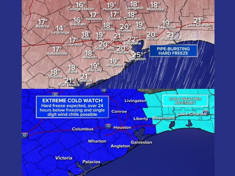
The latest model runs suggest that cold Arctic air will surge southward into Louisiana, settling near the surface while warmer, moisture-rich air from the Gulf flows overhead. This temperature structure is a classic setup for freezing rain, where rain falls through warm air aloft but freezes on contact with roads, trees, and power lines.
At this point, the signal is primarily for freezing rain, with some sleet possible, and little to no snow indicated in current guidance.
Areas Most at Risk Across Louisiana
If this setup holds, central and northern portions of Louisiana appear most vulnerable to icing. Some model guidance even extends the risk as far south as Northern Acadiana, though confidence decreases farther south.
Southern and coastal Louisiana currently appear more likely to see cold rain rather than ice, but small temperature changes could shift the freezing line north or south.
Model Agreement — But Still Early
It’s important to note that this is one deterministic model cycle, and the event is still about a week away, which is a long time in winter forecasting. That said, both the European (ECMWF) and American (GFS) models are independently showing an icy scenario, which adds credibility to the signal.
However, winter features like this can strengthen, weaken, or disappear entirely from the forecast within a day or two at this range.
Timing and Duration of the Potential Ice Event
Current projections suggest that freezing rain could begin late Saturday night, with icing potential continuing into Sunday and possibly ending by Monday. Accumulation amounts remain highly uncertain, but even light ice accumulation can cause dangerous travel conditions and power disruptions in Louisiana, where infrastructure is less accustomed to prolonged freezing weather.
Why Caution Is Being Urged Now
Forecasters emphasize that this is not a forecast yet, but rather a pattern worth watching closely. Sensational winter weather posts are likely to circulate as this system gains attention, but reliable information and patience are key as details come into focus. Small changes in temperature profiles, storm track, or timing could significantly alter impacts.
What Residents Should Do for Now
At this stage, the best course of action is awareness, not alarm. Residents should keep an eye on forecast updates over the coming days, especially those in central and northern Louisiana, where ice impacts could become more likely if trends continue.
We’ll continue tracking this developing winter weather setup and provide updates as confidence increases. If you’ve experienced past ice storms in Louisiana, share how they affected your area and stay connected with ongoing coverage at SaludaStandard-Sentinel.com.


