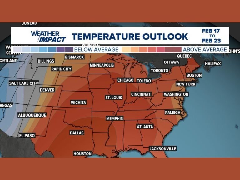
Growing Winter Storm Signal Shows Snow and Ice Potential for the Carolinas and North Georgia as Models Align for Next Weekend
SOUTHERN UNITED STATES — Meteorologists are beginning to flag a developing winter storm signal for next weekend, as all three major forecast models now show a system capable of producing snow and ice across parts of the Carolinas and north Georgia in roughly six days.
Forecasters stress this is still a pattern-recognition phase, but the level of model agreement at this range is notable and warrants close attention heading into the latter part of the week.
Major Forecast Models Now in Strong Agreement
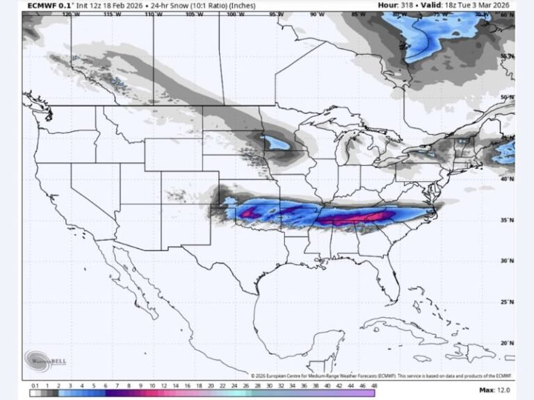
For the first time in several days, the European, American GFS, and Canadian models are showing a similar track, timing, and structure for a potential winter storm moving across the South. The European model highlights a band of mixed winter precipitation stretching into North Carolina, South Carolina, and north Georgia.
This consistency across reliable models increases confidence that some form of winter weather is possible, even though exact impacts are still uncertain.
This Setup Differs From the Previous System
Forecasters point out that the last winter system was difficult to predict due to a lack of established cold air, making outcomes highly variable. This upcoming setup appears more classic, with cold air already in place, a deeper low-pressure system, and better moisture availability.
These ingredients significantly improve the chances for snow, sleet, or freezing rain, depending on how temperatures evolve at the surface and aloft.
Cold Air in Place Raises Snow and Ice Potential
One of the most important differences with this system is that cold air is already entrenched across the region before the storm arrives. This reduces the risk of a rain-dominated outcome and increases the likelihood that precipitation falls as wintry types, especially across inland areas.
Small changes in temperature profiles will still matter, but the overall environment is more supportive of winter weather than earlier attempts this season.
Saturday–Sunday Timeframe Being Watched Closely
The current window of concern centers on Saturday into Sunday next weekend. At this stage, forecasters are not focusing on specific accumulation amounts, but rather on trend consistency and storm evolution.
Details such as exact locations, impacts, and totals typically come into focus within 48 hours of the event, once confidence rises.
Forecasters Emphasize Patience and Preparedness
Meteorologists remind the public that this system is still several days away, and forecasts will change as new data comes in. However, early awareness allows residents to stay informed without overreacting.
Winter is not finished yet, and this pattern suggests additional opportunities for cold and wintry weather before the season winds down. As updates continue and confidence builds, readers are encouraged to share what conditions look like in their area and stay connected with ongoing coverage at SaludaStandard-Sentinel.com.


