Winter Pattern Begins to Shift Late January as Arctic Air Builds Over Canada and Eyes the Southern U.S.
UNITED STATES — New long-range weather signals suggest that winter may finally begin asserting itself toward the end of January, as atmospheric changes over Alaska and western Canada allow colder Arctic air to organize and slowly press southward. While no immediate cold outbreak is expected, forecasters are watching what’s shaping up to be a developing winter “battle zone” across North America after January 24.
Alaska Warming Could Unlock Arctic Air to the South
One of the key signals emerging in the extended forecast is a warming trend over Alaska, where brutally cold conditions have dominated for more than a month. As ridging builds in that region, it allows the coldest Arctic air to be displaced southward, rather than remaining locked in the far north.
This type of pattern change does not happen quickly. Instead, it builds gradually, often over a span of several days to a couple of weeks, before colder air masses are able to surge into the central and southern United States.
Arctic Air Pooling Over Canada Signals a Pattern Change
As Alaska moderates, Arctic air is forecast to pool across western and central Canada, creating a reservoir of cold air north of the U.S. border. Once this cold becomes sufficiently organized, it increases the risk of southward intrusions into the Lower 48, particularly if the jet stream aligns favorably.
Meteorologists describe this setup as a classic winter staging pattern, where warm air remains entrenched across the southern states while cold air waits to the north, setting the stage for sharper temperature contrasts.
Late January Could Mark the Start of a Winter Battle Zone
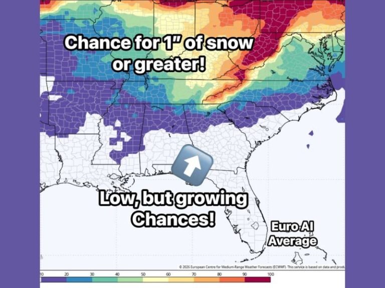
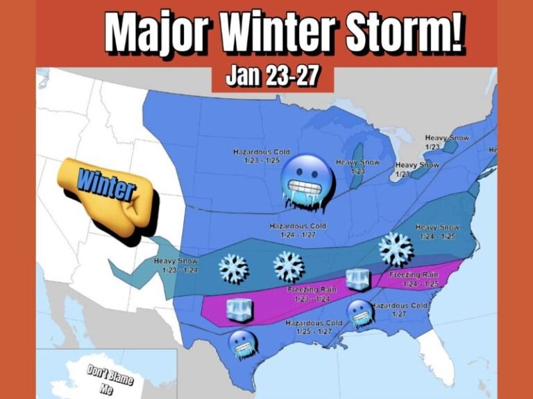
Forecast guidance points to the January 24–25 timeframe as a window when this pattern could begin to influence U.S. weather more directly. While exact impacts remain uncertain, the broader signal suggests winter may finally “show up” after a relatively quiet stretch in many areas.
This does not guarantee a major storm or extreme cold event, but it does indicate that the atmosphere is becoming more favorable for winter weather, especially across parts of the central U.S.
North Texas Enters Its Climatological Coldest Period
Climatologically, North Texas enters its coldest three-week stretch between January 25 and mid-February, a period when the strongest Arctic air masses historically occur. The evolving pattern aligns closely with that window, making it more supportive of winter weather potential in the region. Forecasters emphasize that timing and placement can still change, but the overall setup is becoming more consistent with late-season winter behavior.
No Immediate Impact, But Signals Are Worth Watching
In the short term, no significant cold outbreak is expected, and residents should not expect immediate changes. However, the presence of these longer-range signals explains why meteorologists are beginning to pay closer attention.
The takeaway: winter is not finished, and the atmosphere appears to be laying the groundwork for more traditional late-January and early-February conditions. Stay with SaludaStandard-Sentinel.com for continued updates as forecasters monitor how this developing winter pattern evolves heading into the final weeks of January.


