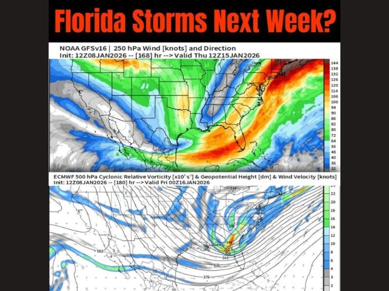
Florida and Georgia Face Significant Arctic Pattern Shift as Three Waves of Intensifying Cold Target the Deep South
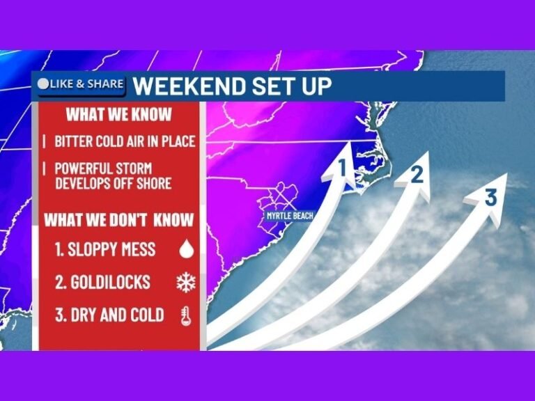
FLORIDA / GEORGIA — A significant and sustained Arctic pattern shift is underway across the Deep South, with three distinct surges of cold air expected over the next 7 to 10 days, each colder than the last. Forecasters warn this setup is not a one-off cold snap, but a progressive series of reinforcing cold intrusions that will push unseasonably low temperatures deep into Florida and southern Georgia. The impacts will be felt statewide, with hard freezes becoming increasingly possible, especially during the second and third cold waves.
Cold Punch #1: Early Week Chill Brings First Widespread Freeze Threat
The first surge of Arctic air arrives early Tuesday morning, pushing temperatures into the lower 30s across parts of south Georgia’s Wiregrass region, with chilly conditions spreading across much of north and central Florida. While this first wave is considered moderate by winter standards, it sets the stage by lowering ground temperatures and priming the region for more serious cold later in the week.
Cold Punch #2: Friday Morning Delivers Sharper Freeze Risk
The second and stronger Arctic surge arrives Friday morning, with temperatures plunging into the mid-20s across south Georgia and widespread 30s across interior Florida.
Forecasters say this wave poses a much higher freeze risk, particularly for:
- Tender vegetation
- Exposed plumbing
- Outdoor pets and livestock
Wind chills will make conditions feel even colder, especially during the early morning hours.
Cold Punch #3: Coldest Air Targets January 19 Window
The third and most intense cold blast is projected for the morning of January 19, when temperatures could fall into the middle to lower 20s in parts of south Georgia, with subfreezing air spreading deeper into the Florida Peninsula if current projections hold.
This wave represents some of the coldest air the region has seen this season, raising concerns for agriculture, infrastructure, and prolonged freeze impacts.
Florida Peninsula Feels the Full Impact
Unlike many winter cold snaps that weaken before reaching Florida, this pattern allows multiple reinforcing Arctic air masses to surge southward, meaning nearly the entire Florida Peninsula will experience the second and third cold waves. Forecasters are already flagging “falling iguana” conditions, a phenomenon caused when cold-stunned reptiles lose grip in trees during sudden freezes.
Preparation Is Strongly Encouraged
Residents across Florida and Georgia are urged to begin cold-weather preparations now, including:
- Protecting tender plants
- Securing outdoor pipes
- Checking heating equipment
- Planning for extended cold mornings
Meteorologists emphasize that while exact temperatures may still shift, confidence is growing in the overall cold pattern, making preparation essential.
Why This Pattern Matters
What makes this setup notable is not just how cold it gets, but how long it lasts. With each wave reinforcing the next, the Deep South faces a prolonged stretch of winter-like conditions, rather than a brief dip followed by quick warming.
More refinements are expected as each cold surge approaches, but forecasters stress this is a pattern worth taking seriously. Stay informed and continue following updates from SaludaStandard-Sentinel.com, where we will track each Arctic surge, freeze risk, and regional impact as this evolving winter pattern unfolds.


