Oklahoma Faces Rare Same-Week Weather Whiplash as Thunderstorms Thursday Give Way to Possible Snow by Friday Night
OKLAHOMA — Weather conditions across the state are set to take a sharp and unusual turn this week, as strong thunderstorms expected Thursday are followed by a potential transition to snow by Friday night, according to the forecast data shown. The rapid shift highlights the unstable pattern currently affecting Oklahoma, where spring-like storms and winter precipitation may occur within roughly 36 hours of each other.
Thunderstorms Expected Across Eastern Oklahoma Thursday
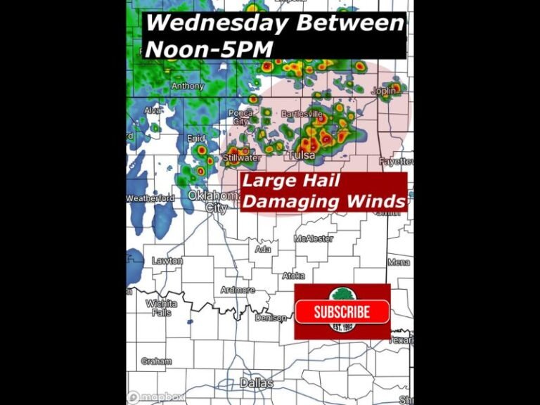
Forecast models show thunderstorms developing around midday Thursday, particularly across eastern and northeastern Oklahoma, including areas near Tulsa, Muskogee, Bartlesville, and McAlester. The storm setup features deep moisture and a strong low-pressure system, creating conditions favorable for heavy rain, lightning, and gusty winds.
While the data does not explicitly show widespread severe warnings at this time, thunderstorms appear organized and active enough to disrupt travel, outdoor plans, and visibility, especially during the afternoon and early evening hours.
Sharp Cold Shift Follows as Snow Becomes Possible Friday Night
By Friday evening, the forecast indicates a dramatic change in air mass, with colder temperatures moving into the state. The model imagery suggests that rain may transition to snow, particularly across northern and northeastern Oklahoma, including areas near Ponca City, Stillwater, and parts of the Tulsa metro.
At this time, snow amounts remain uncertain, and the forecast uses a question mark to reflect that uncertainty. However, the presence of snow symbols indicates at least a realistic potential for wintry precipitation, especially during the late evening and overnight hours Friday.
Why This Pattern Is Unusual for Oklahoma
Experiencing thunderstorms one day and possible snow the next is not common, even for Oklahoma’s variable climate. The data shows a strong frontal boundary moving quickly through the region, allowing warm, unstable air to be rapidly replaced by colder air from the north.
This type of setup increases forecast difficulty and raises the risk for rapidly changing road conditions, especially if wet surfaces freeze overnight.
What Residents Should Prepare For
Residents should be ready for:
- Thunderstorms and heavy rain Thursday
- Rapid temperature drops by Friday
- Possible snow or rain-snow mix Friday night
- Uncertain travel conditions, especially after sunset
Because small temperature changes will determine whether precipitation falls as rain or snow, forecast confidence on exact impacts will improve closer to the event. Stay with SaludaStandard-Sentinel.com for continued updates as Oklahoma’s unusually volatile weather pattern evolves through the end of the week.


