New England Snowstorm Forecast Updated as Central and Southern Regions Now Expect Higher Totals Friday Into Saturday
MASSACHUSETTS — Forecasters across New England are raising snowfall projections for central and southern areas as a winter storm moves closer to the region, bringing a rapid update to expected totals for Friday through Saturday. While earlier model runs suggested moderate accumulations, the latest data indicates a slight northward shift in the storm track, resulting in higher snowfall potential for several communities.
Increased Totals Reported Across Central and Southern New England
Meteorologists reviewing the last several model cycles noted that although the changes are not dramatic, the trend now supports greater snow accumulation across parts of Massachusetts, Connecticut, and Rhode Island. Some forecasters reported receiving elevated snowfall ranges from residents seeking personalized predictions; however, professionals emphasized that exact totals will vary by town and elevation.
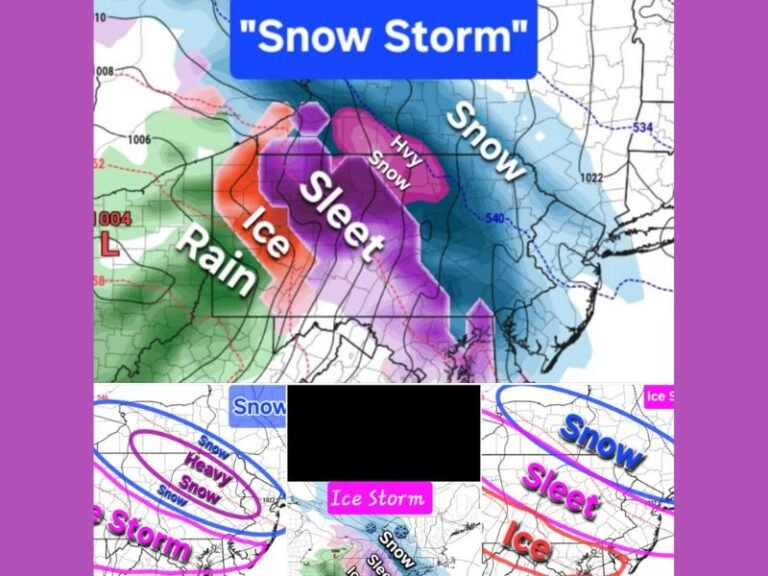
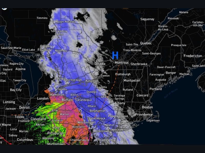
Snowfall ranges as displayed on the updated accumulation map show:
- 6–12 inches across much of central Massachusetts and northern Connecticut
- 8–12+ inches in elevated areas near the Berkshires and interior valleys
- 4–8 inches across southern Connecticut and portions of Rhode Island
- 2–6 inches closer to coastal Massachusetts, depending on banding
Officials caution that these numbers remain subject to change as the system approaches, though confidence in higher totals has increased compared to earlier projections.
Updated Timing as Storm Approaches
The revised timing map now places the onset of snow during Friday afternoon, continuing steadily into Saturday morning. Snow intensity is expected to increase overnight, with the heaviest bands forming after midnight as colder air deepens across the region.
Forecasters stress that while guidance remains consistent, timing and small track shifts could still influence totals. They also reiterated that they cannot make personal travel decisions for residents, nor can they provide one-on-one forecasts due to the overwhelming volume of inquiries.
Travel Impacts and Public Reminders
Road conditions across New England are expected to deteriorate as snowfall intensifies late Friday. Higher elevations may experience difficult travel first, with slippery roadways, reduced visibility, and rapid accumulation likely in heavy bands.
Meteorologists are reminding residents that clicking images on social media may trigger automated prompts resembling direct messages, but these are platform-generated. With widespread interest in this storm, forecasters emphasize relying on official updates rather than expecting individualized responses. Residents are encouraged to monitor local alerts and prepare for potentially hazardous travel during peak snowfall hours. For continuing updates on this developing winter storm, visit SaludaStandard-Sentinel.com.