Ice Storm Threat Expands Across Minnesota, Wisconsin, Michigan And Northern Illinois As Thin Glaze Could Trigger Widespread Power Strain
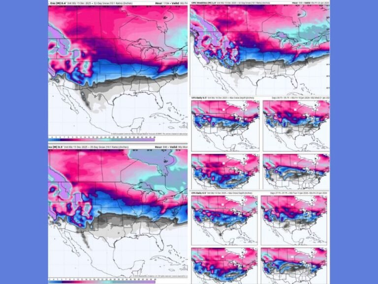
MINNESOTA — A winter storm moving across the Upper Midwest late Thursday into Friday is drawing new concern, not because of heavy snow totals, but because of the expansive zone of light icing stretching from Minnesota and Wisconsin into Michigan and northern Illinois. Meteorologists warn that the pink-shaded areas on the latest forecast maps represent a quiet but dangerous setup, where even a quarter-inch of ice can overload critical infrastructure.
Ice Zones Pose A Silent But Serious Risk
Forecasters emphasize that the threat here is not dramatic snow accumulation, but the thin glaze of ice that forms when temperatures hover near freezing. Even ⅛ to ¼ inch of ice can strain:
• Power lines
• Trees and branches
• Transformers
• Communication lines
Unlike typical snow systems, this type of icing does not pile up, but adds weight evenly and silently. Once surfaces glaze over, infrastructure weakens slowly rather than suddenly, raising the chance of overnight or early-morning outages.
Multiple States And Power Grids Affected At The Same Time
A key concern is the regional size of this system. The storm’s footprint stretches across several major power grids from the Upper Midwest into the Great Lakes. Experts say that means repair crews and emergency resources may be spread thinner than normal if outages begin stacking up.
Areas at risk for up to ½ inch of ice include portions of northern Wisconsin, northern Michigan, and the western U.P. Meanwhile, Minneapolis, Chicago, Detroit, Cleveland, Buffalo, and Erie are projected to see pockets of light glaze, with snow accumulations ranging from 1–3 inches to 6–12 inches in northern Michigan.
Thursday Night Into Friday Is The Critical Window
Icing is most likely Thursday evening through midday Friday, aligning with periods where temperatures wobble around the freezing mark. Meteorologists highlight several overlapping risks:
• Ice builds steadily on surfaces
• Wind gusts add additional pressure
• Temperatures fluctuate enough to weaken lines
• Outages could last longer than usual if lines fail
This type of storm rarely produces dramatic scenes—it chips away quietly until infrastructure finally gives out.
What Residents Should Prepare For
Those in or near the pink-shaded areas should take precautions now. Charge devices, prepare for short-notice outages, secure backup heat options, and avoid unnecessary travel on potentially slick roads. Stay aware and stay safe. For more updates and local coverage, visit SaludaStandard-Sentinel.com.


