U.S. Temperature Outlook Shows Colder East and Warmer West Pattern for Mid-December as Arctic Chill Fades
ATLANTA, GA — After a bitter Arctic chill grips much of the United States this week, meteorologists say the nation will soon see a significant temperature flip. According to the latest 8–14 Day Temperature Outlook from NOAA’s Climate Prediction Center, much of the western half of the country will trend warmer than average between December 9 and 15, 2025, while the eastern states will experience a cooler-than-normal stretch.
Arctic Chill Gives Way to a Divided Temperature Pattern
This week’s Arctic outbreak is expected to deliver wind chills in the teens and single digits across parts of the Midwest and Southeast by Thursday morning. However, forecasters say the cold will not last long. Beginning next week, a strong ridge of high pressure will build over the western U.S., ushering in widespread warmth, while the eastern half of the country remains under a cooler trough pattern.
NOAA’s forecast map highlights a clear west-to-east temperature contrast:
- Above-normal temperatures dominate the West, Southwest, and parts of the Southern Plains, including California, Arizona, Nevada, Utah, and Texas.
- Below-normal temperatures are expected across the Midwest, Great Lakes, and portions of the East Coast.
- Areas along the Gulf Coast and southern Florida are projected to stay slightly above normal as warm air lingers near the subtropics.
Western U.S. to Experience Extended Warmth
Meteorologists note that the upcoming warmth in the West could lead to daytime highs 10–15 degrees above average for early December. Cities such as Phoenix, Las Vegas, and Los Angeles may see afternoons reaching the upper 70s to near 80°F, conditions more typical of October than December.
This warming trend will be fueled by a persistent high-pressure ridge that blocks cold Arctic air from penetrating the western states. As a result, much of the Pacific coast and interior Southwest will enjoy dry, sunny, and unusually mild conditions for several days.
Eastern U.S. Stays Cooler After Early-Week Freeze
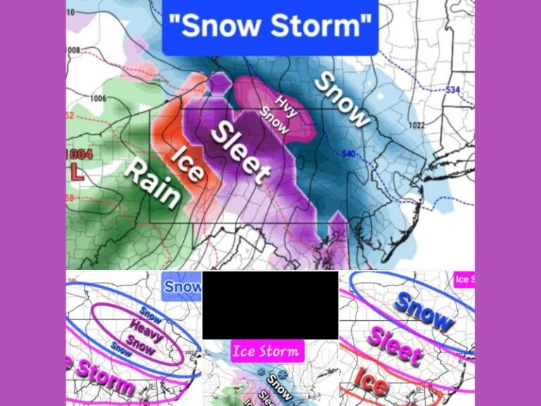
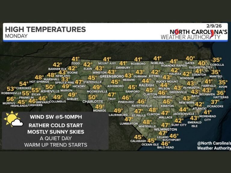
In contrast, the Midwest and East Coast will remain under a colder pattern for much of the same period. Temperatures will stay below normal in states such as Michigan, Ohio, Pennsylvania, and North Carolina, with the potential for light wintry precipitation in some areas.
Forecasters say this setup could lead to sharply contrasting conditions across the nation — while residents in California and Texas enjoy mild sunshine, people in the Great Lakes and Northeast will continue to feel the lingering effects of Arctic air through mid-December.
Southern States See Mixed Conditions
The Southeast and Gulf Coast are expected to hover near seasonal averages, with occasional warm-ups between cold fronts. Florida, in particular, will experience briefly chilly mornings followed by warm afternoons, as subtropical air remains strong across the peninsula.
While parts of Mississippi, Alabama, and Georgia will cool slightly early next week, forecasters say the chill will not be as harsh as this week’s Arctic front, which brought widespread morning freezes across the Deep South.
National Outlook: Milder End to December Possible
Looking beyond mid-month, long-range climate models suggest a possible return to above-average temperatures across much of the U.S. by late December. Meteorologists caution, however, that short-lived Arctic intrusions could still occur as the jet stream remains active through the holiday season.
Overall, the pattern marks a shift toward a more typical El Niño-influenced winter, featuring alternating bursts of cold in the East and mild, dry weather in the West.
For continuing coverage of regional and national weather developments, visit SaludaStandard-Sentinel.com for updates throughout the month.


